Monte Astu, Mountain summit in Haute-Corse, France
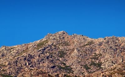
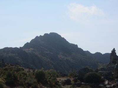
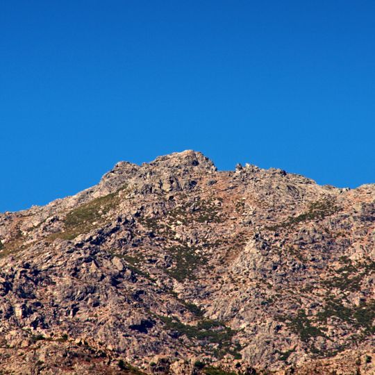
Monte Astu is a granite summit of 1,535 metres on the border of Lama and Sorio communes in Haute-Corse. It is the highest point of the Serra di Tenda ridge, a granitic mass partly detached from its mica schist encasement, which remains on its periphery and roof. Bare pale grey, tan and pinkish-brown rock, broken into boulders, crags and uneven ledges, carries sparse low green scrub; a cluster of larger outcrops marks the top.
The mountain has served for centuries as a natural boundary separating local communes and shaping how settlements developed on either side. This geographic division influenced the way northern Corsican communities organized their territories and land use.
The mountain serves as a natural landmark for local communities, defining the geography of the Nebbio region and the surrounding valleys. Its massive granite presence shapes how people in the area understand and navigate their territory.
The hike begins from the village of Lama on a marked trail that forms a round trip of about 13 kilometers and takes roughly six hours to complete. Sturdy hiking boots and a reasonable level of fitness are essential, as the path climbs steadily and becomes more demanding in the upper sections.
Monte Astu gave its name to a Corsican cheese made by a shepherd from San-Gavino-di-Tenda. The summit is hard to pick out from the villages of the Ostriconi valley it overlooks, because it does not stand apart from the ridge; it is clearly seen from St Florent, Oletta and Cap Corse. From the top, the view takes in the Agriates Desert, the Monte Cinto massif, Cap Corse and the Tuscan Archipelago.
The community of curious travelers
AroundUs brings together thousands of curated places, local tips, and hidden gems, enriched daily by 92,808 contributors worldwide.