Monte San Petrone, Mountain summit in Haute-Corse, France
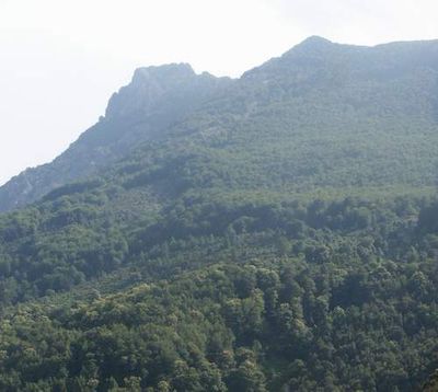
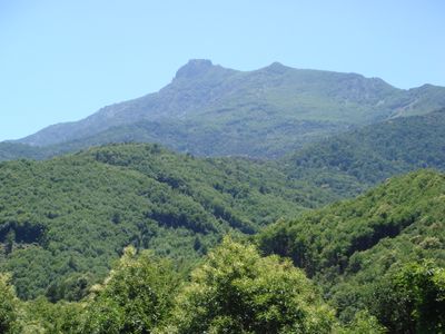
Monte San Petrone is a mountain summit in northeastern Haute-Corse reaching 1,767 meters in elevation with a prominence of 1,210 meters. The peak is made of crystalline schist and stands as a notable landmark in the region.
This summit marks historical boundaries between four distinct cantons of Corsica: Saliceto, Nocario, Campana, and San-Lorenzo. The geographic position defined important territorial divisions in the region across many centuries.
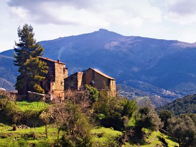
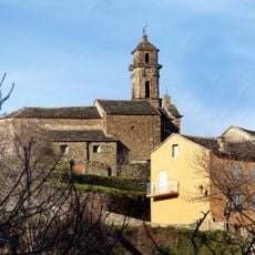
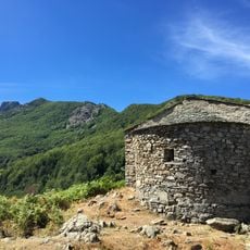
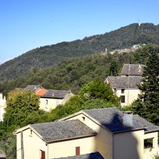
The slopes in the Castagniccia region are covered with traditional sweet chestnut groves that have been central to local life for many generations. These ancient trees shape the landscape you see while climbing and remain an important part of how people relate to this mountain.
The main hiking trail begins at Col de Prato on road D71, covering about 6 kilometers with roughly 800 meters of elevation gain through beech and pine forests. The climb is easiest to manage in dry weather and requires sturdy footwear for the rocky sections.
The peak is structured by three distinct north-south ridges: Mont Piano Maggiore, Monte San Pedrone, and the eastern ridge of Monte Negrine. This parallel ridge formation makes the mountain geologically distinctive and creates varied views during the ascent.
The community of curious travelers
AroundUs brings together thousands of curated places, local tips, and hidden gems, enriched daily by 60,000 contributors worldwide.