Bertagne, Mountain summit in Gémenos, France.
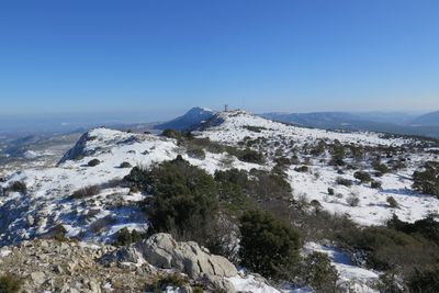
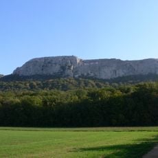
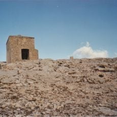
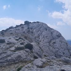
Bertagne is the highest point of the Bouches-du-Rhône department, reaching 1,042 m in the Sainte-Baume massif above Gémenos. Its pale grey limestone summit is split by vertical fissures and ridges, with low green vegetation on the lower ledges. A few thin masts and a white dome-shaped radar station stand on the flattened top.
The summit's history is tied to its radar station, the "station de la Sainte-Baume", installed at the top and operated by the civil aviation navigation centre for south-east France based in Aix-en-Provence. Military equipment is also installed there. A paved road climbs the massif's ridge and stops in front of the radar zone at about 1,020 m, below the 1,042 m summit.
The summit's radar and radio station, the station de la Sainte-Baume, is run from the air navigation centre in Aix-en-Provence, and military equipment stands beside it. The paved road up the ridge ends at this zone, around 1,020 m, which is why cyclists can ride almost to the top.
A paved road climbs the massif ridge and makes the summit reachable by bicycle; it ends at a civil aviation radar zone at about 1,020 m, just below the 1,042 m top. The summit lies on the territory of Gémenos, and the radar and military installations there are not open to visitors.
A paved road climbs the ridge to about 1,020 m, stopping at a civil aviation radar zone, so the summit can be reached by bicycle. The radar and radio station, known as the Sainte-Baume station, is run from the air navigation centre in Aix-en-Provence, and military equipment stands on top as well.
The community of curious travelers
AroundUs brings together thousands of curated places, local tips, and hidden gems, enriched daily by 93,786 contributors worldwide.