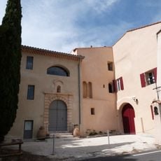
Sainte-Baume Regional Nature Park, Regional nature park between Var and Bouches-du-Rhône, France.
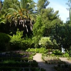
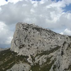
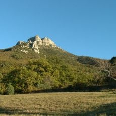
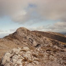
Sainte-Baume Regional Nature Park is a protected area of about 84,367 hectares across the Var and Bouches-du-Rhône departments, centred on a limestone chain that rises to 1,148 m and runs roughly 15 km east-northeast. Beech, oak and Scots pine forests cover the slopes, with grassland and vineyards at the edges. The massif's fissures and sinkholes feed underground rivers that resurface at springs.
The park received official protection status in December 2017, bringing together communities with deep roots in the area. Local farming and grazing practices that shaped these lands over centuries continue to play a role in how the park is managed today.
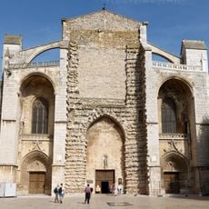
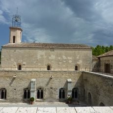
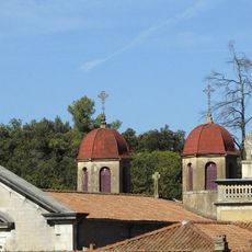
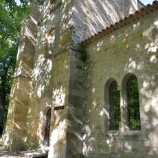
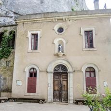
The cave church of Sainte-Marie-Madeleine, built in the grotto where legend places Mary Magdalene's last days, is the focus of pilgrimages that also take in the Basilica of Saint-Maximin and the Chartreuse de Montrieux. The Office national des forêts is responsible for the grotto's conservation.
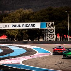
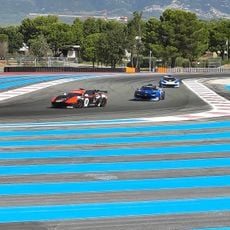
The park headquarters is at Nazareth, in the eastern part of Plan-d'Aups-Sainte-Baume, and the Maison de la Sainte-Baume in the same village serves as an information point. The massif's highest point reaches 1,148 m, so trails climb steadily; carry water, as the limestone plateau holds little surface water. The Pic de Bertagne has a via ferrata, and the Circuit Paul Ricard and Castellet airfield lie within the park near Le Castellet.
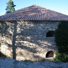
In the 17th and 18th centuries, ice was made on the massif: water and snow were caught in dolines or low-walled basins, frozen, then stored in coolers — stone-lined pits 10 to 20 m deep, a quarter above ground and roofed with tiles on an earth layer. Blocks were cut in summer and carted at night to Toulon. The Pivaut cooler at Mazaugues can still be seen.
The community of curious travelers
AroundUs brings together thousands of curated places, local tips, and hidden gems, enriched daily by 93,841 contributors worldwide.