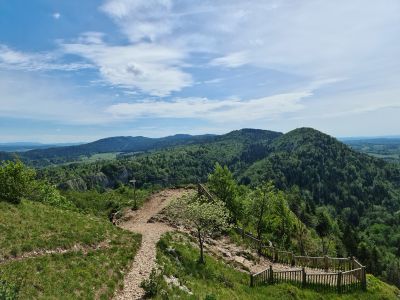
Pic de l'Aigle, Free flight site at Pic de l'Aigle summit, France.
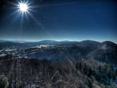
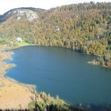
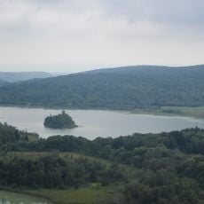
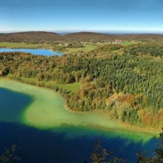
Pic de l'Aigle is a sedimentary rock summit rising to approximately 993 meters in the Jura region of France. From the top, visitors see expansive views across multiple plateaus and the layered limestone formations that characterize this mountain landscape.
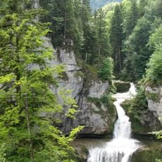
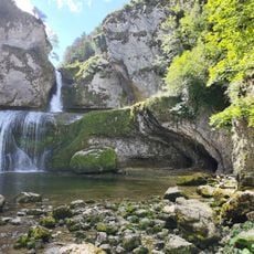
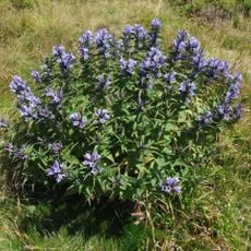
The rock layers formed during the Jurassic period, creating the limestone cliffs and dry grasslands visible today. These geological processes shaped the mountain's distinctive structure over millions of years.
The name refers to the eagles and raptors that nest on the cliff faces and circle overhead from this location. Visitors can watch these birds hunting and understand why this spot holds such importance for local wildlife.
The hike takes about one to two hours on well-marked trails, and a maintained staircase with handrails makes the final approach easier. Parking is available near the trailhead, and an orientation table at the summit helps you identify the surrounding landscape.
The site serves as a launch point for paragliders who use the thermal currents rising from the valley. At the same time, it offers excellent viewing spots for watching Peregrine Falcons and Common Ravens that nest on the nearby cliff faces.
The community of curious travelers
AroundUs brings together thousands of curated places, local tips, and hidden gems, enriched daily by 60,000 contributors worldwide.