Pointe de Vorlaz, Mountain summit in Montriond, France
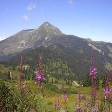
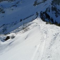
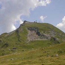
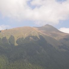
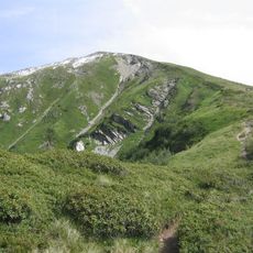
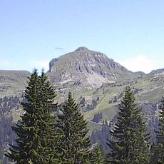
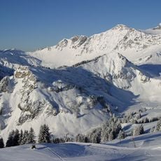
Pointe de Vorlaz is a summit of bare reddish-brown sedimentary rock in the Chablais massif, reaching 2346 metres and forming the highest point of Montriond. Its ridgeline climbs from a lower left shoulder to a broad top before dropping to the right; the sunlit upper left face is smooth, while the shadowed right face holds snow patches in its gullies. The summit and its combes are structured by the Brèche nappe, thick breccia layers from the dismantling of tilted blocks on the southern margin of the Briançonnais microcontinent.
This summit was shaped millions of years ago by the tectonic forces that built the Alps and moved sedimentary layers into their current position. The geological processes that formed the mountain continue to influence its structure and appearance today.
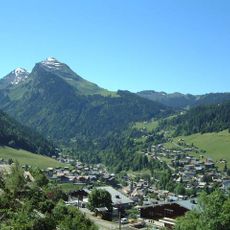
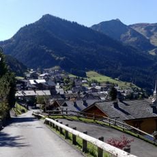
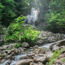
Locals pronounce the name "Vorle" or "Vourle". The summit is the highest point of Montriond and closes the upper Chéravaux valley, whose landmarks include Lac de Montriond, the Ardent waterfall, the Lindarets hamlet and the Brochaux waterfall. It is also the head of the Dranse de Montriond catchment.
Pointe de Vorlaz is the highest point of Montriond commune, reached on foot from Avoriaz or via the Chéravaux valley. Since 27 March 2025 a biotope protection order covers about 185 hectares: no motor vehicles, no aircraft below 150 m, no camping or bivouac, no fires, no picking plants, and climbing is banned from 15 March to 31 July. Dogs on a leash are allowed only on the chemin des Brochaux.
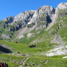
The rocks here belong to the Brèche nappe, a geological formation that becomes particularly visible through intense weathering and erosion in this area. This rock formation is relatively uncommon in the region and makes the summit especially notable for those interested in geology.
The community of curious travelers
AroundUs brings together thousands of curated places, local tips, and hidden gems, enriched daily by 94,466 contributors worldwide.