Tête du Géant, Mountain summit at the France-Switzerland border, between Valais and Haute-Savoie.
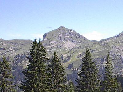
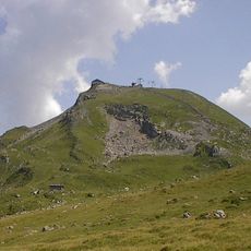
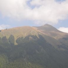
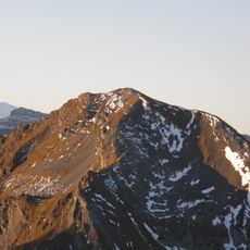
Tête du Géant is a mountain summit straddling the France-Switzerland border at 2,232 meters, built from sedimentary rock with distinct geological layers. The visible stone formations reveal the structure of the Brèche nappe and define the character of the entire peak.
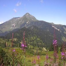
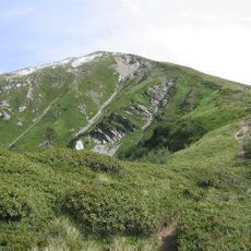
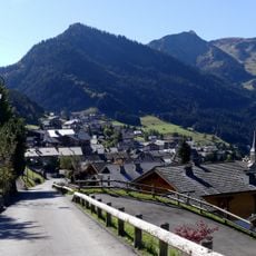
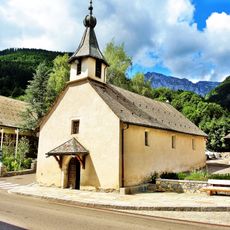
Local shepherds established routes across the slopes during the 19th century while using the land for seasonal grazing, paths still followed today. These early mountain routes formed the foundation for the hiking network that remains the backbone of the area.
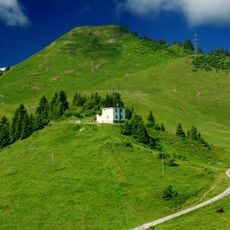
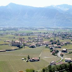
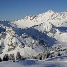
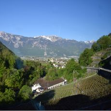
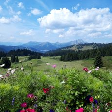
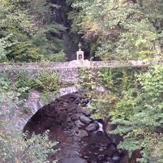
The mountain marks a natural boundary where French and Swiss Alpine communities have shared their lives and the landscape for generations. People on both sides use the slopes in their own ways, connecting their traditions across the border.
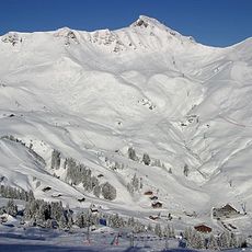
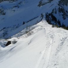
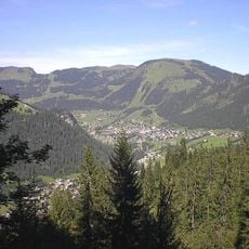
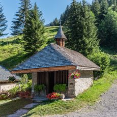
You can reach the summit from either side: Monthey in Switzerland or Châtel in France, with several marked routes available for different abilities. In winter, the north face offers good conditions for skiers and snowboarders looking for backcountry options.
The exposed sedimentary layers at the summit document millions of years of Earth's history and are part of the protected Chablais Geopark. Walking through this open-air geological display becomes especially interesting for visitors curious about how mountains form and change.
The community of curious travelers
AroundUs brings together thousands of curated places, local tips, and hidden gems, enriched daily by 60,000 contributors worldwide.