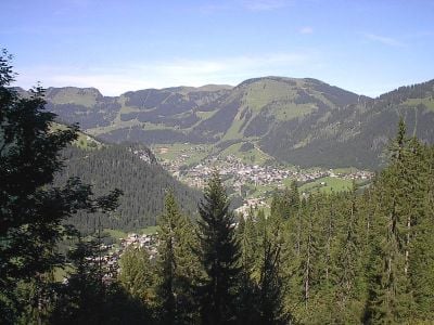
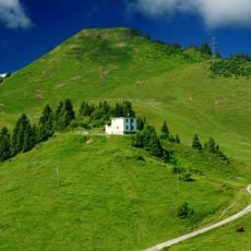
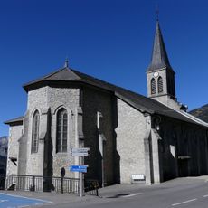
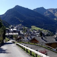
Châtel, Mountain resort in Haute-Savoie, France.
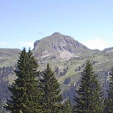
Châtel is a mountain resort in Haute-Savoie featuring two main skiing sectors with runs between 3,600 feet and 7,200 feet (1,100 and 2,200 meters) in elevation. The area is served by 39 lifts and offers approximately 43 marked runs for different skill levels.
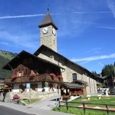
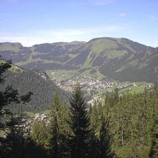
The place began as a farming village and transformed into a winter sports resort following the installation of its first ski lift in the mid-twentieth century. This shift permanently altered the region's economy and attracted growing numbers of annual visitors.
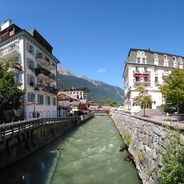
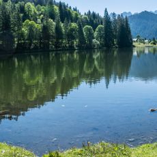
The village maintains its roots in dairy farming, with local cheese producers shaping the character of the region. Visitors can observe this craft tradition through the daily activities of residents and the products found in local dairies.
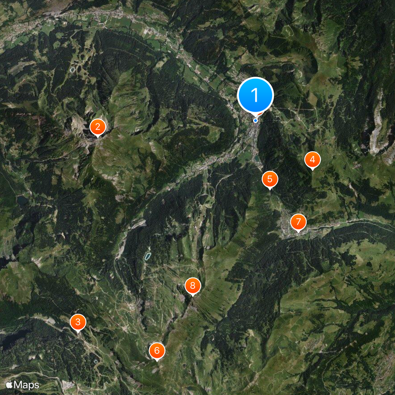
The location offers convenient access to the cross-border Portes du Soleil ski region, which provides direct connections to Swiss destinations such as Morgins and Torgon. A car is recommended to reach the different sectors and nearby villages, particularly outside peak season.
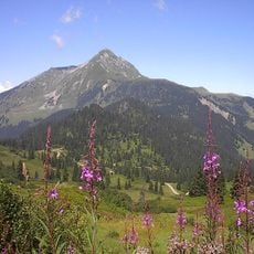
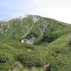
The Fantasticable is a notable cable ride where visitors glide over the mountain landscape while enjoying panoramic views. This attraction blends adventure with scenery and offers a different way to experience the Alps.
Location: canton of Abondance
Location: Haute-Savoie
Location: arrondissement of Thonon-les-Bains
Elevation above the sea: 1,552 m
Part of: Portes du Soleil
Shares border with: Abondance, La Chapelle-d'Abondance
Phone: +33450732398
Email: mairie@mairiedechatel.fr
Website: http://mairie-chatel.com
GPS coordinates: 46.26667,6.84111
Latest update: December 14, 2025 11:22
Mont de Grange
4.7 km
Village des chèvres
8.1 km
Bec du Corbeau
2.2 km
Lac de Morgins
2.1 km
Pointe de Chésery
7.6 km
Église de Morgins
3.5 km
Tête du Géant
5.5 km
Église Saint-Laurent de Châtel
102 m
Tour de Don
3 km
Cornebois
6.5 km
Le Morclan
1.7 km
Pointe du Midi
2.6 km
Chapelle Notre-Dame-des-Neiges-Saint-Bernard-et-Saint-Martin de Vonnes
1.1 km
Chapelle de l'Essert
1.1 km
La Truche
5 km
Tête du Tronchey
2.7 km
Tête de la Torrens
2.8 km
Pointe des Mattes
3.4 km
Pointe des Ombrieux
2.4 km
Pointe de Chésery ou de Bécret
7.4 km
Toposcope, scenic viewpoint
4.7 km
Scenic viewpoint
7.2 km
Cornillon
3 km
Mont Bénand
5 km
Golf Contact
1.1 km
Ars Sonora Frontière
173 m
Lac de Montriond
7.3 km
Scenic viewpoint
7.1 kmVisited this place? Tap the stars to rate it and share your experience / photos with the community! Try now! You can cancel it anytime.
Discover hidden gems everywhere you go!
From secret cafés to breathtaking viewpoints, skip the crowded tourist spots and find places that match your style. Our app makes it easy with voice search, smart filtering, route optimization, and insider tips from travelers worldwide. Download now for the complete mobile experience.
A unique approach to discovering new places❞
— Le Figaro
All the places worth exploring❞
— France Info
A tailor-made excursion in just a few clicks❞
— 20 Minutes