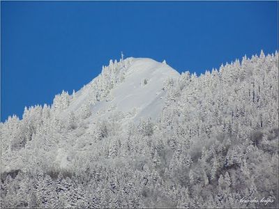
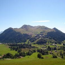
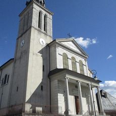
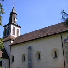
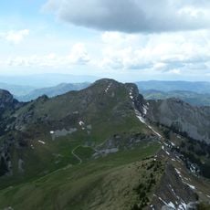
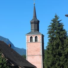
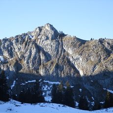
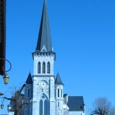
Pointe des Brasses, Mountain summit in Haute-Savoie, France.
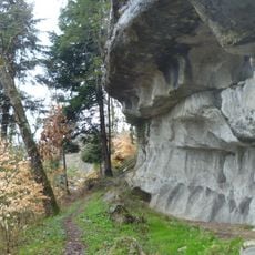
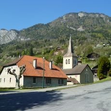
Pointe des Brasses is a mountain summit in the Chablais Alps with an elevation around 1,500 meters, composed of sedimentary rock that forms the visible slopes and ridges. The exposed stone faces and angular terrain create a distinctive silhouette visible from surrounding valleys and towns.
The peak formed through geological processes over millions of years that shaped the entire Alpine mountain range and specifically created the Chablais Alps structure. This ancient formation has remained a constant geographical landmark influencing settlement patterns and activity in the surrounding region.
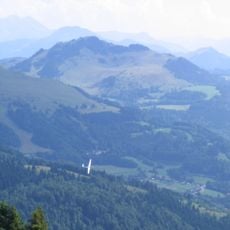
The site draws paragliding enthusiasts from across the region who gather here regularly, making it a meeting point for people who share a passion for flight. Visitors experience how the mountain serves as both a natural landmark and a hub for this specific outdoor community.
Marked trails from Saint-Jeoire and Viuz-en-Sallaz provide different routes to reach the summit, with parking available at both starting points to suit various hiking abilities. Weather conditions, particularly wind patterns, play an important role in deciding when to visit, especially for anyone interested in paragliding activities.
This peak functions as an official free flight launch site where paragliders depart and soar over the surrounding Alpine valleys in what can be extended aerial journeys. This specialized use transforms it into more than just a hiking destination, attracting a devoted community of pilots who value the exceptional flying conditions.
The community of curious travelers
AroundUs brings together thousands of curated places, local tips, and hidden gems, enriched daily by 60,000 contributors worldwide.