Quai Henri-IV

Log in to your account

AroundUs is a community-driven map of interesting places, built by curious explorers like you. It grows with every review, story, and photo you share.
Connect to save your favorite spots, contribute locations, and create personalized routes.
Continue with Google
Continue with Apple
Continue with X
Continue with Facebook
Continue with email
By continuing, you accept our Terms and Conditions and our Privacy Policy
Create an account

Quai Henri-IV

Add to collection
Map
Suggest a change
Share

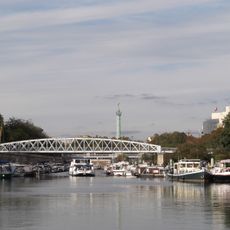
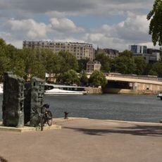
Quai Henri-IV, Riverfront promenade in 4th arrondissement of Paris, France

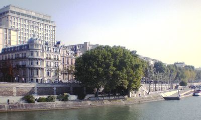
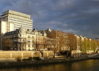
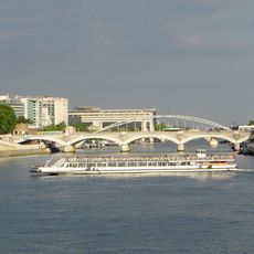
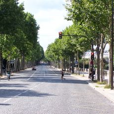
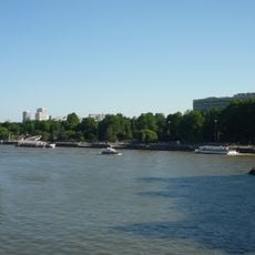
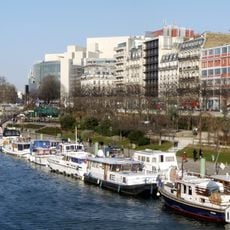
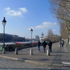
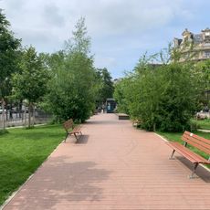
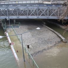
Quai Henri-IV is a 500-meter riverfront promenade along the Seine in the 4th arrondissement, accommodating both pedestrians and vehicles. The 20-meter-wide structure runs directly alongside the water and allows views of buildings and architecture on both banks.

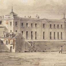
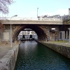
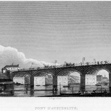
Construction of this quay began in 1843 on land reclaimed from the former Île Louviers and received its official name in 1844. This project transformed the former Arsenal area into a proper riverside thoroughfare.

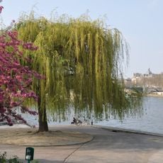
This riverfront stretch carries a royal name and connects two distinct neighborhoods within the city. Residents and visitors use this space for walks and to experience the river's presence in their daily surroundings.

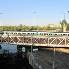
This location is easily accessible by Line 7 metro at Sully-Morland station nearby. The wide space makes for comfortable walking and provides enough room for various activities along the waterfront.

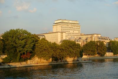
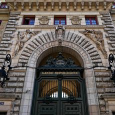
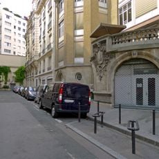
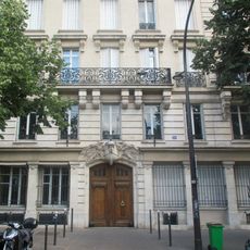
Number 38 once housed the former headquarters of a company renowned for enamel work that gained international attention in the 1920s. This building stands as a reminder of Paris's industrial craftsmanship heritage.

Location: 4th arrondissement of Paris

Location: Quartier de l'Arsenal

Inception: 1843

Length: 500 m

Width: 20 m

Part of: road network of Paris

Shares border with: boulevard Henri-IV, boulevard Morland, port Henri-IV, quai des Célestins, rue Agrippa-d'Aubigné, rue Schomberg, Voie Georges-Pompidou, Passage de l'Île-Louviers

GPS coordinates: 48.84780,2.36417

Latest update: December 14, 2025 09:45

Photos
Reviews

Visited this place? Tap the stars to rate it and share your experience / photos with the community! Try now! You can cancel it anytime.

« Quai Henri-IV - Riverfront promenade in 4th arrondissement of Paris, France » is provided by Around Us (aroundus.com). Images and texts are derived from Wikimedia project under a Creative Commons license. You are allowed to copy, distribute, and modify copies of this page, under the conditions set by the license, as long as this note is clearly visible.

Discover hidden gems everywhere you go!

From secret cafés to breathtaking viewpoints, skip the crowded tourist spots and find places that match your style. Our app makes it easy with voice search, smart filtering, route optimization, and insider tips from travelers worldwide. Download now for the complete mobile experience.

Around Us App Screenshot

A unique approach to discovering new places

Le Figaro

All the places worth exploring

France Info

A tailor-made excursion in just a few clicks

20 Minutes