Quai d'Ivry, Riverfront passage in 13th arrondissement, France
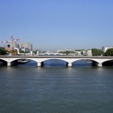
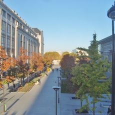
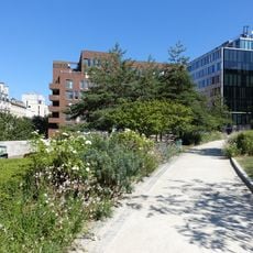
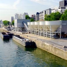
The Quai d'Ivry is a waterfront path extending roughly 340 meters along the Seine and connecting Rue Bruneseau with Pont National. The quay is about 36 meters wide and lined with modern buildings typical of inner Paris urban development.
The quay takes its name from the neighboring Ivry-sur-Seine, which Paris incorporated in 1929 and gave its name to this area. The current form of the quay developed later through construction of the Paris ring road in the 1970s, which significantly altered the original riverfront layout.
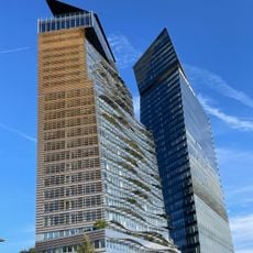
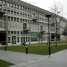
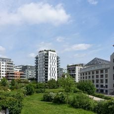
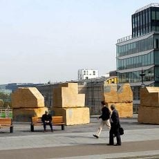
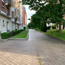
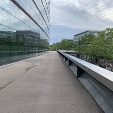
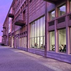
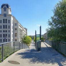
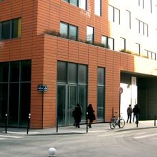
Modern residential and office buildings define the waterfront character today, showing how this section was redesigned during the late 20th century. The wide quay and ordered street layout convey a sense of planned urban development.
The quay runs along the left bank of the Seine from Rue Bruneseau, at the boundary with Ivry-sur-Seine, to the Pont National, where Boulevard du Général-Jean-Simon meets it. The roadway is marked with a bicycle lane and straight-ahead arrows, and the underpass beneath the ring-road interchange has striped height-limit markers.
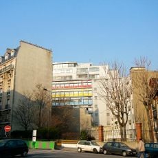
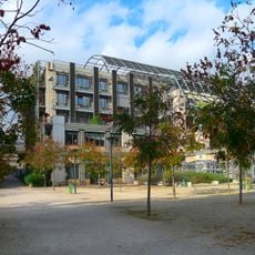
The section between Rue Bruneseau and Boulevard du Général-d'Armée-Jean-Simon was once part of route nationale 19 and lay in Ivry-sur-Seine, annexed to Paris by decree of 18 April 1929. The Cité technique et administrative de la ville de Paris, built by architect Michel Kagan in 1991, stands between Rue Bruneseau, the ring road and the quay.
The community of curious travelers
AroundUs brings together thousands of curated places, local tips, and hidden gems, enriched daily by 93,212 contributors worldwide.