Enable Location

We need your location to show you interesting places around you

Discover nearby places

Find interesting locations and hidden gems around you

Precise directions

Get accurate directions and distances to places

Your location is never shared with other users. It's only used when you tap the location button.

Quai Panhard-et-Levassor

Log in to your account

Start exploring — it's free

Trusted by 62,492 travelers worldwide

Continue with Google
Continue with Apple
or

We will send you a code to connect

By continuing, you accept our Terms and Conditions and our Privacy Policy

Check your inbox

We've sent a pincode in your inbox. Please enter the code below.

Quai Panhard-et-Levassor

Quai Panhard-et-Levassor, Riverfront street in 13th arrondissement, France

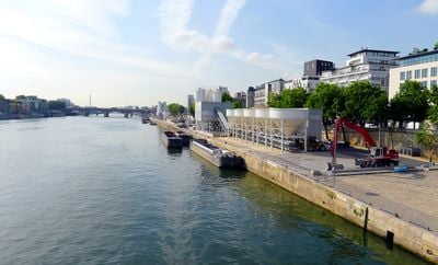
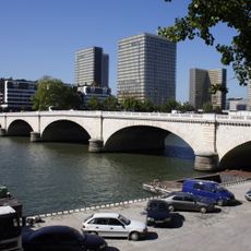
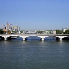
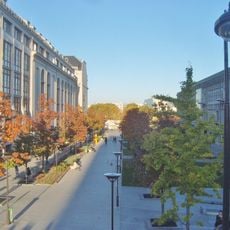
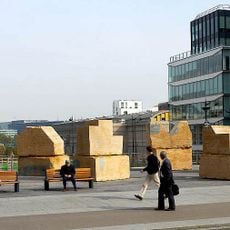
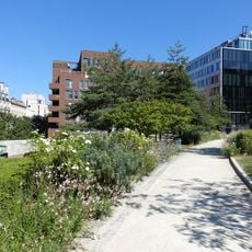
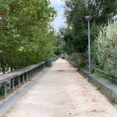
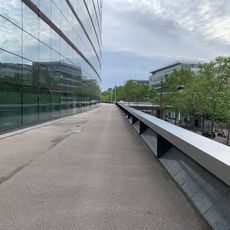
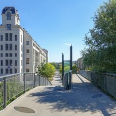
Quai Panhard-et-Levassor is a riverfront street in the 13th arrondissement of Paris that runs for about 680 meters along the Seine. It connects two major bridges and provides access to educational facilities, transportation hubs, and local services within its approximately 16-meter width.

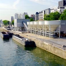
Originally established in the 1600s as a simple riverside pathway, the street was renamed in 1991 to honor two French engineers who pioneered automobile manufacturing. This renaming reflected the area's industrial heritage and evolution.

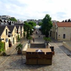
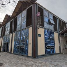
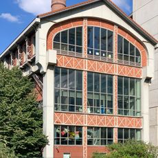
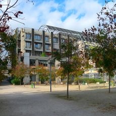
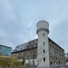
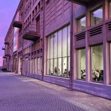
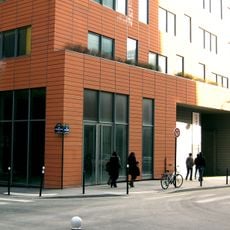
The architecture school that operates here uses former industrial buildings, transforming them into teaching spaces where students and instructors shape the neighborhood's character. This academic presence adds a contemporary dimension to the riverside area.

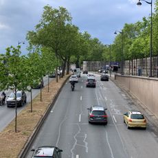
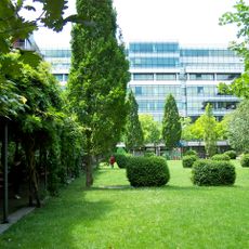
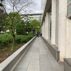
The riverside path is easily accessible on foot and connects directly to metro stations and bus stops for convenient navigation. Since it runs along the water, visitors should be prepared for potentially damp conditions during rainy weather.

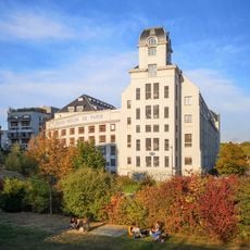
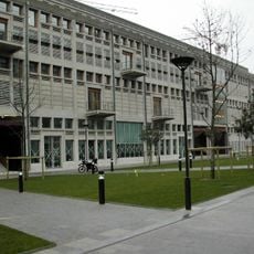
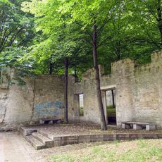
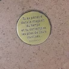
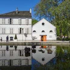
One of the buildings along this street served as a forced labor camp during World War II and now bears memorial plaques in remembrance. This quiet reminder of the past shows how the area's industrial history is embedded in its physical spaces.

The community of curious travelers

AroundUs brings together thousands of curated places, local tips, and hidden gems, enriched daily by 60,000 contributors worldwide.

Start exploring
Length
680 m
Width
16 m
Part of
road network of Paris
Shares border with
esplanade Pierre-Vidal-Naquet, quai d'Ivry, quai François-Mauriac, rue Alice-Domon-et-Léonie-Duquet, rue Françoise-Dolto, rue Hélène-Brion, rue Jean-Antoine-de-Baïf, rue Neuve-Tolbiac, rue Primo-Levi, rue René-Goscinny, rue Thomas-Mann, rue Watt, pont de Tolbiac
GPS coordinates
48.83000,2.38251
Latest update
December 13, 2025 12:25
« Quai Panhard-et-Levassor - Riverfront street in 13th arrondissement, France » is provided by Around Us (aroundus.com). Images and texts are derived from Wikimedia project under a Creative Commons license. You are allowed to copy, distribute, and modify copies of this page, under the conditions set by the license, as long as this note is clearly visible.

Discover hidden gems everywhere you go!

From secret cafés to breathtaking viewpoints, skip the crowded tourist spots and find places that match your style. Our app makes it easy with voice search, smart filtering, route optimization, and insider tips from travelers worldwide. Download now for the complete mobile experience.

Around Us App Screenshot

A unique approach to discovering new places

Le Figaro

All the places worth exploring

France Info

A tailor-made excursion in just a few clicks

20 Minutes

Around Us
Travel Guide & Maps
Download

Send to your phone

QR Code
1

Open the camera app on your mobile.

2

Point at the QR code with your camera. A notification will appear.

3

Tap the notification to open the link.