Quai de Bercy

Log in to your account

AroundUs is a community-driven map of interesting places, built by curious explorers like you. It grows with every review, story, and photo you share.
Connect to save your favorite spots, contribute locations, and create personalized routes.
By continuing, you accept our Terms and Conditions and our Privacy Policy

Quai de Bercy

Add to collection
Map
Suggest a change
Share

Quai de Bercy, Riverfront in 12th arrondissement, France

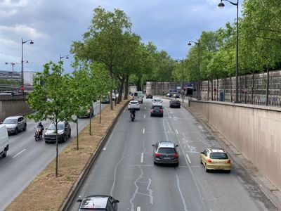
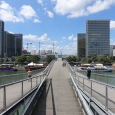
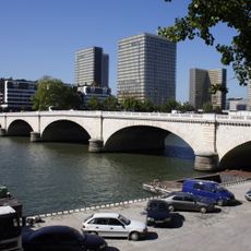
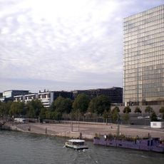
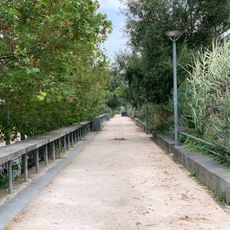
Quai de Bercy is a riverfront pathway along the Seine in Paris spanning a significant length through the 12th arrondissement. The broad walkway connects various sections of the city while offering direct views of the river and surrounding areas.

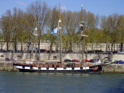
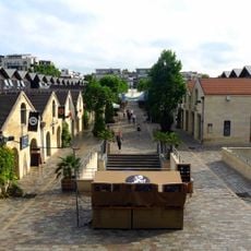
During the 1800s, this quay was a major hub for wine storage and commercial shipping along the river with warehouses lining the water. Its transformation from a busy port into a modern pedestrian zone reflects how the city has evolved over generations.

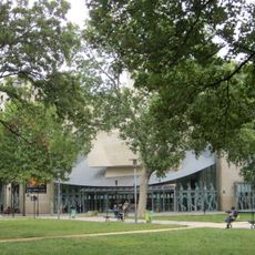
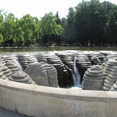
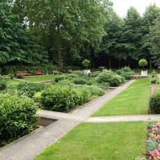
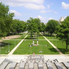
The quay serves as a gathering place for locals who walk, cycle, and relax along its length throughout the year. The trees and open spaces create a casual social hub where you can observe everyday Parisian riverside life.

The area is easily accessible by metro and bus with several stops nearby providing convenient connections to other parts of the city. The path itself is flat and spacious, making it welcoming for walkers, cyclists, and people using wheelchairs.

The quay has its own address numbering system that differs from typical city block divisions, reflecting how Paris organizes its waterfront as a distinct geographic zone. This systematic ordering reveals the care taken in structuring the city's riverside infrastructure.

Location: 12th arrondissement of Paris

Location: Quartier de Bercy

Length: 1,971 m

Width: 14 m

Part of: road network of Paris

Shares border with: Avenue des Terroirs-de-France, boulevard de Bercy, port de Bercy, quai de la Rapée, rue Escoffier, rue Robert-Etlin, place de l'Europe, quai de Bercy, rue de l'Ancienne-Écluse, Pont de Bercy, pont de Tolbiac, port de la Rapée, rue François-Truffaut, rue Joseph-Kessel, Rue des Pirogues-de-Bercy, cour du Levant, voie CF/12, voie CG/12, voie CH/12, voie CJ/12, voie CN/12, voie CT/12, voie CU/12

GPS coordinates: 48.83440,2.38121

Latest update: December 10, 2025 16:28

Photos
Reviews

Visited this place? Tap the stars to rate it and share your experience / photos with the community! Try now! You can cancel it anytime.

« Quai de Bercy - Riverfront in 12th arrondissement, France » is provided by Around Us (aroundus.com). Images and texts are derived from Wikimedia project under a Creative Commons license. You are allowed to copy, distribute, and modify copies of this page, under the conditions set by the license, as long as this note is clearly visible.

Discover hidden gems everywhere you go!

From secret cafés to breathtaking viewpoints, skip the crowded tourist spots and find places that match your style. Our app makes it easy with voice search, smart filtering, route optimization, and insider tips from travelers worldwide. Download now for the complete mobile experience.

Around Us App Screenshot

A unique approach to discovering new places

Le Figaro

All the places worth exploring

France Info

A tailor-made excursion in just a few clicks

20 Minutes