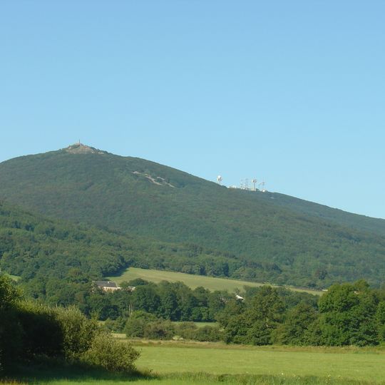
Roc de Montalet, granite summit in Lacaune, Tarn, France
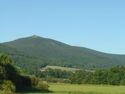
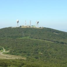
Roc de Montalet is a granite summit in the Monts de Lacaune, within the Haut-Languedoc Regional Nature Park, rising to 1,259 meters. Its wooded slopes are covered in beech forest and moorland, and the rounded top holds a small pale building and a cluster of masts and antennae along the ridge.
In 1792, astronomers Delambre and Méchain used this summit as a reference point to measure the distance between Dunkirk and Barcelona. This scientific work became part of a major survey project that shaped understanding of the Earth's size.
A statue of the Virgin Mary from 1882 stands at the summit on a tall base, marking this as a place where pilgrims come to pray. Visitors climb here not just for the views but also to experience this religious landmark.
The main hiking trail starts from Place General de Gaulle in Lacaune and reaches the summit after covering approximately 19 kilometers. Allow between 5 to 6 hours for the full walk, depending on your pace and how often you stop to rest.
The summit's flora is not year-round: purgative broom, blueberries and raspberries grow on top, with heather moorland of calluna, fescue and gentian below, then a beech wood where snowdrops, wood anemone and lily of the valley flower in spring and woodrush and sweet woodruff in summer.
The community of curious travelers
AroundUs brings together thousands of curated places, local tips, and hidden gems, enriched daily by 94,658 contributors worldwide.