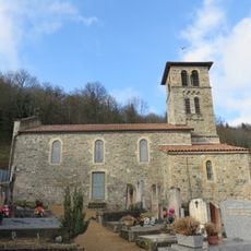
Roche d'Ajoux, Mountain summit in Poule-les-Écharmeaux, France.
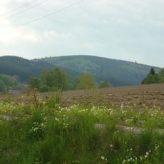
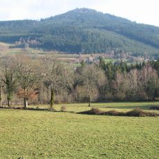
Roche d'Ajoux is a mountain summit in the Beaujolais range of the Rhône department standing at 970 meters high. Dark volcanic rock forms the distinctive peak from which views extend across multiple surrounding mountain chains.
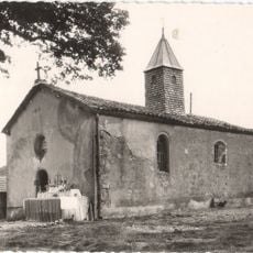
The location shows archaeological traces of a Celtic sacred site with a temple dedicated to Jupiter, from which the name originates. The name Roche d'Ajoux derives from ara jovis, the Latin term for Jupiter's altar that once stood at this hilltop.
The summit marks a natural boundary between drainage basins flowing toward the Atlantic Ocean and the Mediterranean Sea in the Beaujolais region. Visitors climb here to experience this invisible divide and understand the watershed that shapes water flow across the landscape.
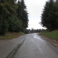
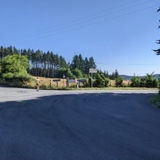
Access to the summit comes through a marked trail network starting from the Les Écharmeaux parking area, following the GR7 hiking path. The route is clearly marked and manageable for hikers of varying experience, with ascent and descent times changing based on individual fitness levels.
The black volcanic rock forming the summit originated 330 million years ago during continental collision that triggered major magma flows. This ancient geology sets the formation apart from other Beaujolais peaks and reveals the region's dynamic past.
Location: Rhône
Elevation above the sea: 970 m
Part of: Beaujolais
GPS coordinates: 46.17871,4.46168
Latest update: December 14, 2025 18:41
Mont Saint-Rigaud
3.8 km
Château de La Carelle
9.1 km
Beaujolais Geopark
9.6 km
Col de la Casse Froide
8.3 km
Mont Tourvéon
4.1 km
Chapelle Saint-Claude de Belmont-de-la-Loire
8.5 km
Chapelle Notre-Dame-de-Vers
9.6 km
Église de la Nativité-de-Saint-Jean-Baptiste de Saint-Igny-de-Vers
7.2 km
Église Saint-Germain de Saint-Germain-la-Montagne
6.9 km
Église Saint-Christophe de Belmont-de-la-Loire
9 km
Église Saint-Laurent de Claveisolles
9.1 km
Church of Lafont
5.6 km
Église Saint-Sulpice de Monsols
6.5 km
Église Saint-Clément de Saint-Clément-de-Vers
7 km
Église Sainte-Madeleine de Chénelette
2.5 km
Église Saint-Georges de Propières
2.4 km
Église Saint-Pierre-et-Saint-Paul d'Azolette
3.6 km
Église Saint-Pierre-et-Saint-Paul des Ardillats
6.2 km
Église Saint-Jacques de Vernay
5.7 km
Ferme de Vernay
5.7 km
Chapelle Notre-Dame de la Rochette
6.8 km
Église Saint-Pierre de Thel
9.6 km
Col de la Cépée
8.4 km
Château du Cros
3.9 km
Croix de la rue du 11-Novembre-1918
9.8 km
Chapelle Saint-Pancrace de Saint-Clément-de-Vers
7 km
Col de Favardy
8.1 km
Col des Aillets
4.3 kmVisited this place? Tap the stars to rate it and share your experience / photos with the community! Try now! You can cancel it anytime.
Discover hidden gems everywhere you go!
From secret cafés to breathtaking viewpoints, skip the crowded tourist spots and find places that match your style. Our app makes it easy with voice search, smart filtering, route optimization, and insider tips from travelers worldwide. Download now for the complete mobile experience.
A unique approach to discovering new places❞
— Le Figaro
All the places worth exploring❞
— France Info
A tailor-made excursion in just a few clicks❞
— 20 Minutes