Enable Location

We need your location to show you interesting places around you

Discover nearby places

Find interesting locations and hidden gems around you

Precise directions

Get accurate directions and distances to places

Your location is never shared with other users. It's only used when you tap the location button.

Réserve naturelle nationale des prés salés d'Arès et de Lège-Cap Ferret

Log in to your account

Start exploring — it's free

Trusted by 61,432 travelers worldwide

Continue with Google
Continue with Apple
or

We will send you a code to connect

By continuing, you accept our Terms and Conditions and our Privacy Policy

Check your inbox

We've sent a pincode in your inbox. Please enter the code below.

Réserve naturelle nationale des prés salés d'Arès et de Lège-Cap Ferret

Réserve naturelle nationale des prés salés d'Arès et de Lège-Cap Ferret, National nature reserve in Nouvelle-Aquitaine, France.

Description

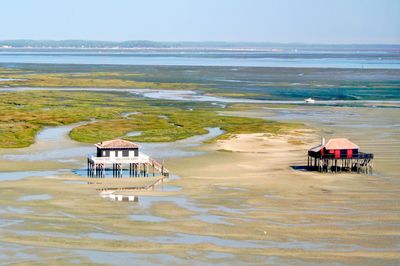
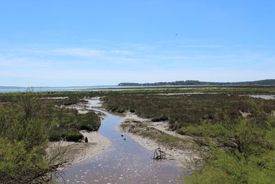
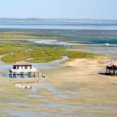
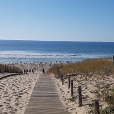
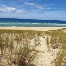
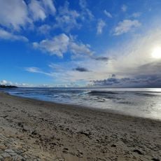
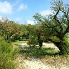
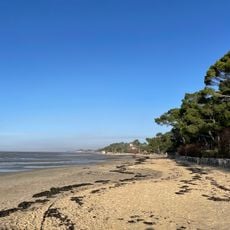
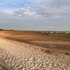
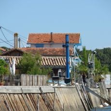
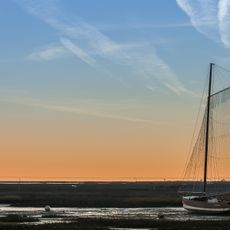
The Réserve naturelle nationale des prés salés d'Arès et de Lège-Cap Ferret is a protected coastal area with salt meadows, wooded dunes, and wetlands that create different ecological zones. The landscape shows how nature transitions gradually from the ocean to the forest, creating habitats for many species.

History

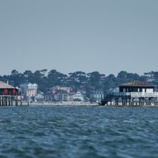
It became a protected reserve in 1983 when the coastline faced growing pressure from urban expansion in the Arcachon Basin. The decision recognized the need to preserve this ecosystem before development could destroy it.

Culture

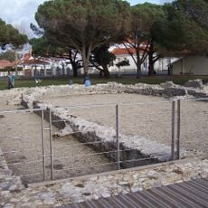
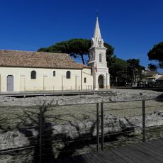
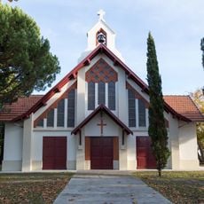
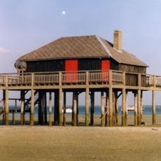
The area has roots in salt harvesting and fishing practices that shaped how people lived alongside the natural environment for centuries. These traditions still influence how locals view and care for the wetlands around them.

Practical

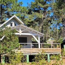
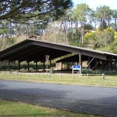
You can walk marked trails that take you through the different habitats while keeping the environment undisturbed. The terrain can be wet or muddy, so proper footwear helps you move comfortably through the various sections.

Did you know?

The reserve hosts rare species like the ruff and a distinctive moorland frog population living at the southern edge of their natural range. Many visitors walk through without noticing these specialized animals, which indicate the ecological health of the place.

Location
Location
Inception
1983
GPS coordinates
44.76889,-1.16361
Latest update
December 6, 2025 17:45

AroundUs brings together thousands of curated places, local tips, and hidden gems, enriched daily by 60,000 contributors worldwide. Discover all places nearby (Lège-Cap-Ferret).

Photography around Bassin d'Arcachon: beaches, oyster villages, Dune du Pilat

The Bassin d'Arcachon covers 155 square kilometers along the French Atlantic coast and offers numerous subjects for photography. The Dune du Pilat rises 110 meters above sea level and forms the tallest sand dune in Europe. Oyster farming villages such as Gujan-Mestras, L'Herbe, and Le Canon display...

« Réserve naturelle nationale des prés salés d'Arès et de Lège-Cap Ferret - National nature reserve in Nouvelle-Aquitaine, France » is provided by Around Us (aroundus.com). Images and texts are derived from Wikimedia project under a Creative Commons license. You are allowed to copy, distribute, and modify copies of this page, under the conditions set by the license, as long as this note is clearly visible.

Discover hidden gems everywhere you go!

From secret cafés to breathtaking viewpoints, skip the crowded tourist spots and find places that match your style. Our app makes it easy with voice search, smart filtering, route optimization, and insider tips from travelers worldwide. Download now for the complete mobile experience.

Around Us App Screenshot

A unique approach to discovering new places

Le Figaro

All the places worth exploring

France Info

A tailor-made excursion in just a few clicks

20 Minutes

Around Us
Travel Guide & Maps
Download

Send to your phone

QR Code
1

Open the camera app on your mobile.

2

Point at the QR code with your camera. A notification will appear.

3

Tap the notification to open the link.