
Réserve naturelle nationale des prés salés d'Arès et de Lège-Cap Ferret
Réserve naturelle nationale des prés salés d'Arès et de Lège-Cap Ferret, National nature reserve in Nouvelle-Aquitaine, France.
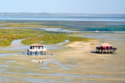
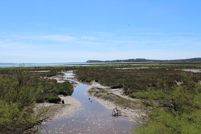
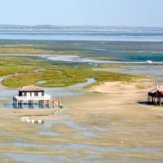
The Réserve naturelle nationale des prés salés d'Arès et de Lège-Cap Ferret is a protected coastal area with salt meadows, wooded dunes, and wetlands that create different ecological zones. The landscape shows how nature transitions gradually from the ocean to the forest, creating habitats for many species.
It became a protected reserve in 1983 when the coastline faced growing pressure from urban expansion in the Arcachon Basin. The decision recognized the need to preserve this ecosystem before development could destroy it.
The area has roots in salt harvesting and fishing practices that shaped how people lived alongside the natural environment for centuries. These traditions still influence how locals view and care for the wetlands around them.
You can walk marked trails that take you through the different habitats while keeping the environment undisturbed. The terrain can be wet or muddy, so proper footwear helps you move comfortably through the various sections.
The reserve hosts rare species like the ruff and a distinctive moorland frog population living at the southern edge of their natural range. Many visitors walk through without noticing these specialized animals, which indicate the ecological health of the place.
Location: Lège-Cap-Ferret
Location: Arès
Inception: 1983
GPS coordinates: 44.76889,-1.16361
Latest update: December 6, 2025 17:45
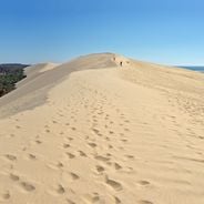
The Bassin d'Arcachon covers 155 square kilometers along the French Atlantic coast and offers numerous subjects for photography. The Dune du Pilat rises 110 meters above sea level and forms the tallest sand dune in Europe. Oyster farming villages such as Gujan-Mestras, L'Herbe, and Le Canon display...
Cabane tchanquée
8.3 km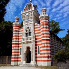
Chapelle de la Villa Algérienne
10.8 km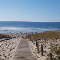
Plage du Grand Crohot
6.5 km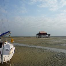
Marine natural park of bassin d'Arcachon
5.9 km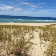
Plage du Truc Vert
9 km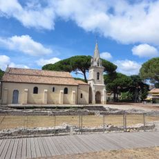
Vestiges gallo-romains d'Andernos-les-Bains
5.4 km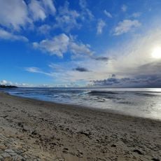
Plage de Mauret
7.8 km
Golf du domaine résidentiel naturiste La Jenny
9.9 km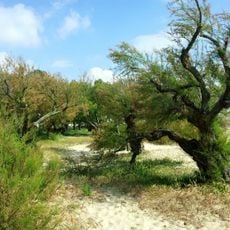
Plage du Betey
6.9 km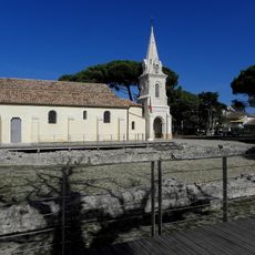
Église Saint-Éloi d'Andernos-les-Bains
5.4 km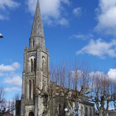
Église Saint-Vincent-de-Paul d'Arès
1.9 km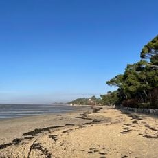
Plage Nord de Taussat
9 km
Golf des Aiguilles Vertes
10.3 km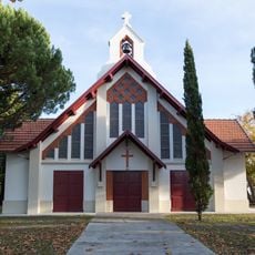
Église Notre-Dame-de-la-Paix d'Andernos-les-Bains
7.6 km
Casino d'Andernos
7.8 km
Plage de la Croix des Marins
3.1 km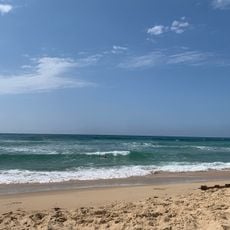
Plage du domaine résidentiel naturiste La Jenny
10.9 km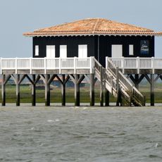
Cabane Tchanquée n°53
8.3 km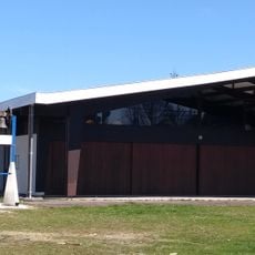
Chapelle Sainte-Bernadette de Cassy
10.8 km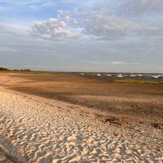
Plage de Cassy
10.6 km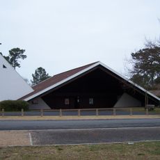
Chapelle Notre-Dame-des-Pins du Piquey
6 km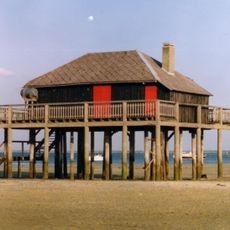
Cabane tchanquée n°3
8.3 km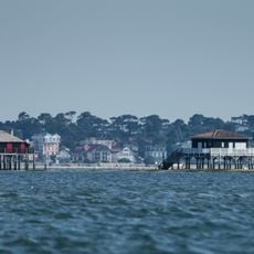
Ile Aux Oiseaux (partie marine)
8.4 km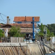
Scenic viewpoint
9.4 km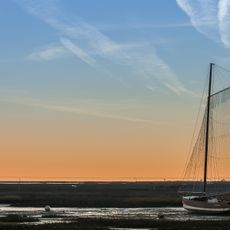
Scenic viewpoint
3.1 km
Église Saint-Pierre de Lège
3.2 km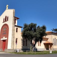
Chapelle Saint-Louis de Taussat
9 km
Chapelle d'été de Piraillan
8.6 kmVisited this place? Tap the stars to rate it and share your experience / photos with the community! Try now! You can cancel it anytime.
Discover hidden gems everywhere you go!
From secret cafés to breathtaking viewpoints, skip the crowded tourist spots and find places that match your style. Our app makes it easy with voice search, smart filtering, route optimization, and insider tips from travelers worldwide. Download now for the complete mobile experience.

A unique approach to discovering new places❞
— Le Figaro
All the places worth exploring❞
— France Info
A tailor-made excursion in just a few clicks❞
— 20 Minutes