Puig de Calmelles, Border summit in Maureillas-las-Illas, France.
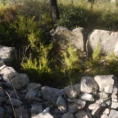
Puig de Calmelles is a summit straddling the France-Spain border near Maureillas-las-Illas and La Jonquera, reaching an elevation of 735 meters. The peak rises as a natural geological feature dividing the two territories with steep rocky slopes on its flanks.
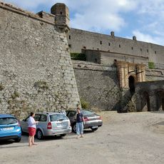
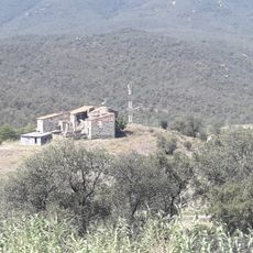
The peak served as a natural boundary marker between French and Spanish territories throughout history and served as a reference point for border demarcation. Its geological features made it an important geographic landmark for establishing territorial divisions in the eastern Pyrenees.
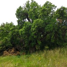
Local communities on both sides of the border share similar traditions connected to the mountain and its natural resources.
Several hiking trails approach the summit from both the French and Spanish sides, with varying levels of difficulty. Visitors should wear sturdy footwear and prepare for changing weather conditions, especially at higher elevations where wind is common.
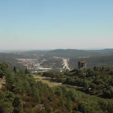
From the summit on clear days, visitors can see the French Mediterranean landscape on one side and the Catalan coastal regions on the other. This rare vantage point reveals two very different territories from a single viewing location.
The community of curious travelers
AroundUs brings together thousands of curated places, local tips, and hidden gems, enriched daily by 60,000 contributors worldwide.