Puig de Cervera, Mountain summit between Portbou and Cerbère, Spain and France
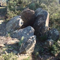
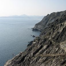
Puig de Cervera is a 207-metre summit of the Albera range above Portbou and Cerbère, on the French-Spanish border. Its slopes are cut from greywacke, sandstone and siltstone of the Paleozoic Albera massif, and the summit carries a stone border marker. A German observation post from the Second World War stands near the top.
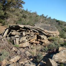
The summit holds a concrete bunker built under the Spanish Republican government in 1937–1938 as part of the fortifications of the French-Spanish border. It was later occupied by German troops during World War II, who used it as an observation post over the Cerbère railway tunnel and the Mediterranean coast. The structure retains its embrasures and interior rooms.
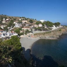
The summit sits on the border between Portbou and Cerbère, where the two villages face each other across the Coll dels Belitres pass. The name Cervera refers to the deer once hunted on these slopes, and the summit is a stage on the long-distance footpath that links the two countries.
The ascent from the Spanish side starts near the N-260 above Portbou, while the French approach leaves from the D914 near Cerbère; either way the climb is about 2.3 kilometres. The path crosses the border ridge, so walkers can go up on one side and descend on the other.
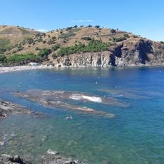
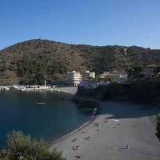
Puig de Cervera appears on the FEEC100 list, a catalogue of 100 summits of the Catalan Countries. From the top, the Cap de Creus peninsula and the French Vermeille coast are visible in one sweep, with the Cerbère railway station and Portbou's bay below.
The community of curious travelers
AroundUs brings together thousands of curated places, local tips, and hidden gems, enriched daily by 94,026 contributors worldwide.