
Canton of Attignat, canton of France
Location: Ain
Inception: March 22, 2015
Capital city: Attignat
GPS coordinates: 46.28722,5.15972
Latest update: March 8, 2025 16:41
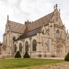
Royal monastery of Brou
11.5 km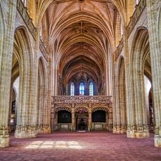
Saint-Nicolas-de-Tolentin church
11.5 km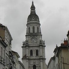
Bourg-en-Bresse Cathedral
10.5 km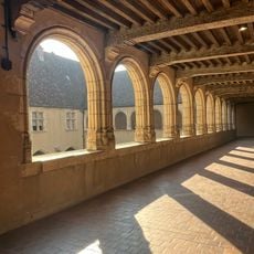
Musée municipal de Bourg-en-Bresse
11.6 km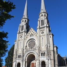
Basilique du Sacré-Cœur de Bourg-en-Bresse
10.9 km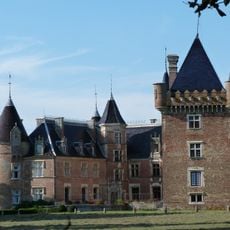
Château de Loriol
9.3 km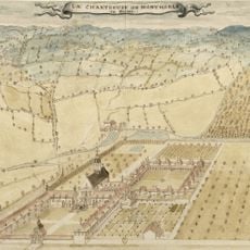
Montmerle Charterhouse
12 km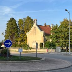
Chartreuse de Seillon
12.7 km
Théâtre de Bourg-en-Bresse
10.3 km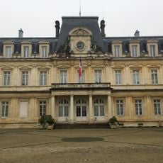
Prefecture hotel of Ain
10.6 km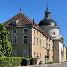
Hôtel-Dieu de Bourg-en-Bresse
11.1 km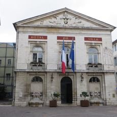
Bourg-en-Bresse city hall
10.3 km
Le Café français
10.5 km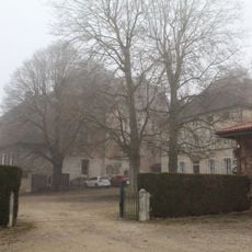
Château de Saix
14.5 km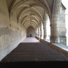
Philibert and Margaret
11.6 km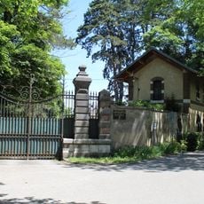
Château de Fleyriat
7.7 km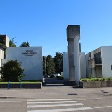
Église Saint-Pierre-Chanel de Bourg-en-Bresse
10 km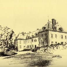
Parc botanique de la Teyssonnière
9.4 km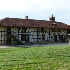
Ferme de Sougey
7.3 km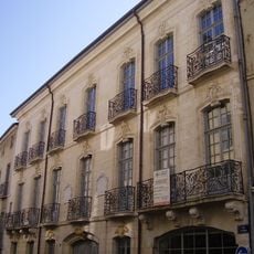
Hôtel Marron de Meillonnas
10.5 km
Chapelle Sainte-Madeleine
10.5 km
Analemmatic sundial of Brou
11.5 km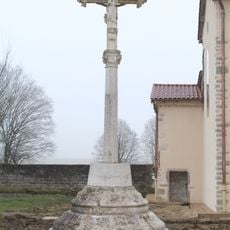
Calvaire de Curtafond
5.7 km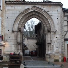
Porte des Jacobins
10.7 km
Château de la Teyssonière
9.4 km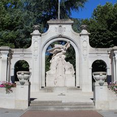
War memorial of Bourg-en-Bresse
10.5 km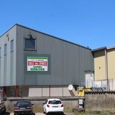
Salle des Sports
10.8 km
Demeure Hugon
10.5 kmReviews
Visited this place? Tap the stars to rate it and share your experience / photos with the community! Try now! You can cancel it anytime.
Discover hidden gems everywhere you go!
From secret cafés to breathtaking viewpoints, skip the crowded tourist spots and find places that match your style. Our app makes it easy with voice search, smart filtering, route optimization, and insider tips from travelers worldwide. Download now for the complete mobile experience.

A unique approach to discovering new places❞
— Le Figaro
All the places worth exploring❞
— France Info
A tailor-made excursion in just a few clicks❞
— 20 Minutes