Mont Saint-Frieux, Chalk mountain in Neufchâtel-Hardelot, France.
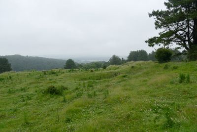
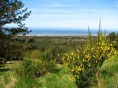
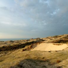
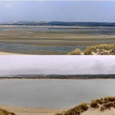
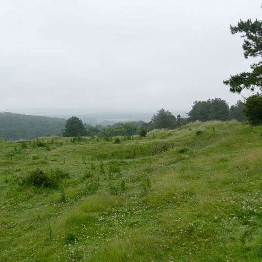
Mont Saint-Frieux is a 153-metre hill of dunes banked against a fossil chalk cliff about 2 km from the Channel shore, in Neufchâtel-Hardelot, Pas-de-Calais. Its slopes rise to a rounded crest, covered in grass and low vegetation with scattered shrubs and small white flowers, and a line of trees along the upper edge.
In the 18th century settlements here were buried under sand, and tree planting was used to hold the dunes. In the 19th century large landowners kept the area as hunting ground. During World War II the occupier used the hill as a military post and built about twenty bunkers of the Atlantikwall, damaging the vegetation. In 1987 the Conservatoire du Littoral bought much of the site.
The name "mont" refers to the topographic bump formed by dunes plastered onto a fossil chalk cliff, not to a hermit. In the 18th century, settlements were buried under sand and trees were planted to hold the dunes; in the 19th century, private owners used the area as hunting grounds. Today, hardy Highland cattle and Dexter cattle, along with Highland and Shetland ponies, graze parts of the site.
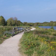
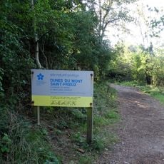
The site is reached from Neufchâtel-Hardelot via the RD 940, or on foot from north of Dannes or south of Hardelot-Plage. Three waymarked trails cross it: "de la pomme d'or", "des chablis" and "du mont Saint-Frieux". Dogs are not allowed on these paths, and some sectors are closed to the public to protect rare flora and fauna.
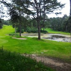
The site is grazed by hardy Highland cattle and Dexter cattle as well as Highland and Shetland ponies, with no ban on walking among them. Managers want to restore the influence of large herbivores such as the aurochs, and artificial windthrow clearings open light gaps that favour insects and the woodlark, whose roughly twenty pairs form the region's largest breeding population.
The community of curious travelers
AroundUs brings together thousands of curated places, local tips, and hidden gems, enriched daily by 93,694 contributors worldwide.