
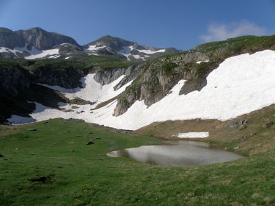
Étang de Pra Matau
Elevation above the sea: 2,136 m
GPS coordinates: 42.76920,1.11667
Latest update: June 23, 2025 15:09
Mont Valier
4.1 km
Arcouzan Glacier
4 km
Château de la Garde
10.2 km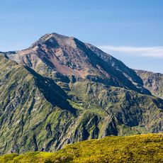
Cim del Mont-roig
8.2 km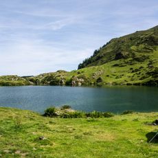
Étang d'Ayès
9.3 km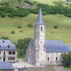
Santuari de la Mare de Déu de Montgarri
10 km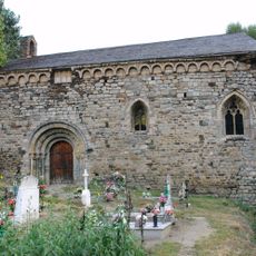
Sant Joan d'Isil
10.7 km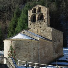
Église de Salau
6 km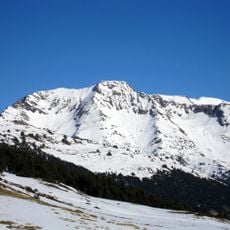
Tuc de Barlonguèra
9 km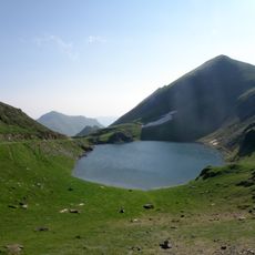
Étang d'Areau
1.2 km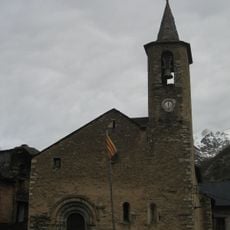
Sant Lliser d'Alós d'Isil
7.7 km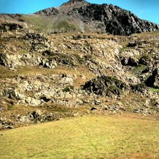
Pico de Ventolau
10.6 km
Tuc de Marimanha
10.8 km
Refugi de Montgarri
10.1 km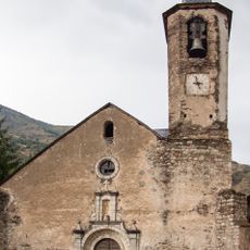
Església de la Immaculada d'Isil
10.3 km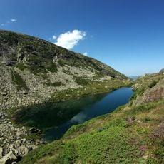
Étang d'Arauech
5.7 km
Pic de la Gallina
9 km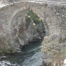
Pont d'Alós
7.8 km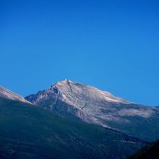
Pico de Moredo
7.8 km
Can Dídac
7.7 km
Pont d'Isil
10.4 km
Pic de Qüenca
9.3 km
Pic de Pilàs
9.7 km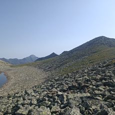
Pic de Rosari de Baciver
10.3 km
Pic de Clavera
3.9 km
Tuc de Bonabé
9 km
Bony de la Mina
5.4 km
Chapelle Saint-Joseph de Rieu
6.2 kmReviews
Visited this place? Tap the stars to rate it and share your experience / photos with the community! Try now! You can cancel it anytime.
Discover hidden gems everywhere you go!
From secret cafés to breathtaking viewpoints, skip the crowded tourist spots and find places that match your style. Our app makes it easy with voice search, smart filtering, route optimization, and insider tips from travelers worldwide. Download now for the complete mobile experience.

A unique approach to discovering new places❞
— Le Figaro
All the places worth exploring❞
— France Info
A tailor-made excursion in just a few clicks❞
— 20 Minutes