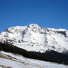
Pic de Clavera, Mountain summit in Occitanie, France
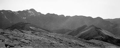
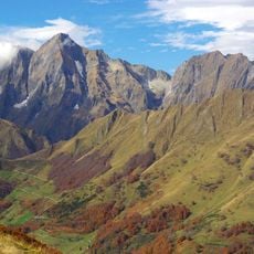
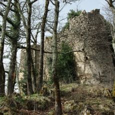
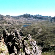
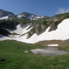
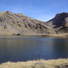
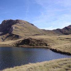
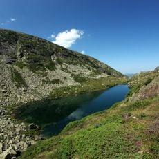
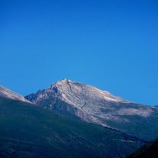
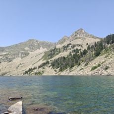
Pic de Clavera is a 2,721 meter summit in the Pyrenees with steep rocky slopes and exposed stone faces that define the high mountain environment. The terrain around the peak consists of sharp ridges and narrow passages carved by erosion over thousands of years.
The mountain was formed millions of years ago when tectonic forces shaped the Pyrenees and created the geological features you see today. This ancient mountain-building process continues to influence how water and weather wear away at the peak.
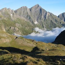
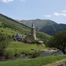
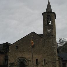
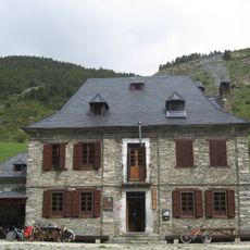
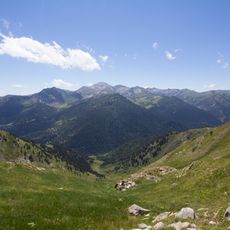
Shepherds and their flocks have moved through these slopes seasonally for generations, and you can still see signs of this pastoral presence in the landscape today. The mountain remains a working part of the local farming life rather than simply a tourist destination.
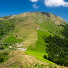
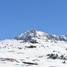
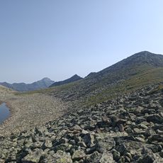
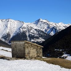
The climb requires solid equipment, water, and experience with steep terrain and some technical rock sections along the route. Starting early in the day helps ensure you have enough daylight for the ascent and descent.
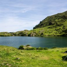
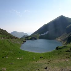
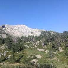
The peak sits at the edge of Alt Pirineu Natural Park, where golden eagles and chamois roam in their wild habitat. These vantage points offer glimpses of mountain wildlife that few visitors get to see up close.
The community of curious travelers
AroundUs brings together thousands of curated places, local tips, and hidden gems, enriched daily by 60,000 contributors worldwide.