Enable Location

We need your location to show you interesting places around you

Discover nearby places

Find interesting locations and hidden gems around you

Precise directions

Get accurate directions and distances to places

Your location is never shared with other users. It's only used when you tap the location button.

Cap de Bouirex

Log in to your account

Start exploring — it's free

Trusted by 61,907 travelers worldwide

Continue with Google
Continue with Apple
or

We will send you a code to connect

By continuing, you accept our Terms and Conditions and our Privacy Policy

Check your inbox

We've sent a pincode in your inbox. Please enter the code below.

Cap de Bouirex

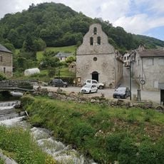
Cap de Bouirex, Mountain summit in Ariège, France

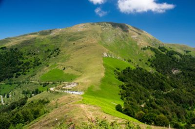
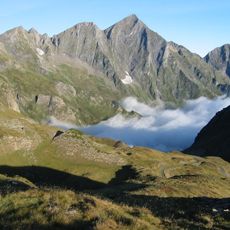
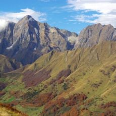
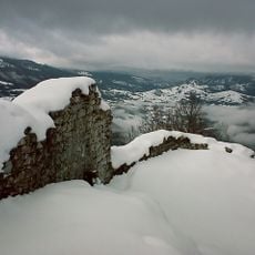
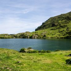
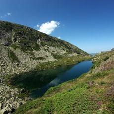
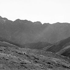
Cap de Bouirex is a mountain summit in the French Pyrenees standing at 1025 m with different northern and southern slopes showing varied rock formations. The plateau of Plagne de Bouirex adds to the distinctive character of this peak's terrain.

The mapping and documentation of this area began in the 19th century during systematic surveys of the Pyrenees by French geographers. These early explorations formed the foundation for modern understanding of the region's mountain landscape.

The name comes from the regional Occitan language spoken in Ariège. This connection to local speech reflects how the mountains are woven into the identity of the people who live nearby.

Hikers can reach the summit via marked trails from Col de la Core, requiring proper mountain gear and good physical fitness. The terrain demands caution, especially when weather turns bad or snow covers the slopes.

An airfield on the Plagne de Bouirex plateau allows small aircraft and ultralight vehicles to land at this elevation. This unusual feature makes the location a special destination for aviation enthusiasts.

The community of curious travelers

AroundUs brings together thousands of curated places, local tips, and hidden gems, enriched daily by 60,000 contributors worldwide.

Start exploring
Elevation above the sea
1,025 m
GPS coordinates
42.86920,1.11760
Latest update
December 14, 2025 18:01
« Cap de Bouirex - Mountain summit in Ariège, France » is provided by Around Us (aroundus.com). Images and texts are derived from Wikimedia project under a Creative Commons license. You are allowed to copy, distribute, and modify copies of this page, under the conditions set by the license, as long as this note is clearly visible.

Discover hidden gems everywhere you go!

From secret cafés to breathtaking viewpoints, skip the crowded tourist spots and find places that match your style. Our app makes it easy with voice search, smart filtering, route optimization, and insider tips from travelers worldwide. Download now for the complete mobile experience.

Around Us App Screenshot

A unique approach to discovering new places

Le Figaro

All the places worth exploring

France Info

A tailor-made excursion in just a few clicks

20 Minutes

Around Us
Travel Guide & Maps
Download

Send to your phone

QR Code
1

Open the camera app on your mobile.

2

Point at the QR code with your camera. A notification will appear.

3

Tap the notification to open the link.