Sources d’Arcier, Natural spring system in Vaire, France
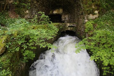
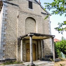
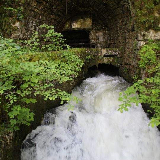
Sources d'Arcier is a group of karst springs at the foot of the Jura, 275 m up on the left bank of the Doubs near the hamlet of Arcier. The Source du Martinet, the largest, flows from a cave beneath a built porch and has supplied 20,000 m³ a day since 1854; the Source d'Arcier yields 10,000 to 14,000 m³. Their streams join after about 300 m to form the Arcier, which soon enters the Doubs.
Around 70 AD the Romans tapped the springs to supply the baths and fountains of Vesontio (Besançon) through an 11 km aqueduct, with a distribution basin under what is now the square Castan. The aqueduct was abandoned in the 5th century during the barbarian invasions. In 1839 the city bought the springs and built a new 10 km gravity-and-siphon aqueduct between 1850 and 1854.
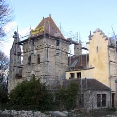
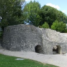
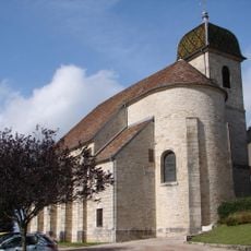
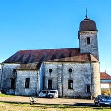
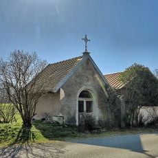
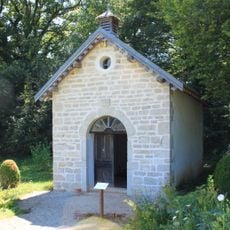
The name Arcier comes from the stream the springs feed, which joins the Doubs 300 metres downstream. The 7-hectare site once held the château d'Arcier, a chapel, mills, a gunpowder works, forges, a paper mill and a fish farm that operated from 1945 to 2003. The former powder mill was later converted into the chapel.
The site is accessible via a marked trail about 1.5 kilometers long with roughly 60 meters of elevation gain that connects the springs. Sturdy shoes are essential since the ground becomes slippery near the water features.
The water travels through the Mamirolle fault, draining a catchment of about 100 km² on the Saône-Nancray plateau and filtering through the Saône marshes. The Source du Martinet alone yields 20,000 m³ per day, drawn directly from its cave since 1854.
The community of curious travelers
AroundUs brings together thousands of curated places, local tips, and hidden gems, enriched daily by 94,657 contributors worldwide.