Vieux-Reims, Iron Age fortified settlement in Condé-sur-Suippe and Variscourt, northern France.
This ancient fortified settlement covers roughly 420 acres (170 hectares) on an alluvial terrace at the confluence of the Aisne and Suippe rivers, featuring ramparts 6 to 10 feet (2 to 3 meters) high surrounding residential and craft areas from the second and first centuries BC.
The site was occupied primarily during La Tène D1B period between 120/110 and 90/80 BC, with significant discoveries including bronze coin hoards from the first century BC and evidence of organized urban planning with orthogonal street layouts and storage facilities.
Archaeological excavations have revealed residential quarters, metallurgical workshops, and a stone granary measuring about 20 feet (6 meters) long by 14 feet (4.25 meters) wide, demonstrating advanced agricultural and artisanal activities including local salt extraction from basins and bronze jewelry production.
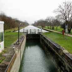
The site has been designated as a protected historical monument since 1992, though much of it was destroyed during the nineteenth and twentieth centuries by the construction of the Aisne canal, railway lines, and industrial facilities.
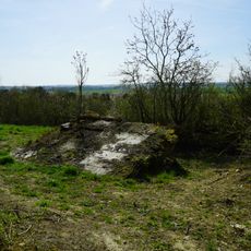
Historical place names such as Mur de Rome and Le vieux Rains, recorded on eighteenth-century Cassini maps, reflect centuries of local memory about the visible ancient ruins before systematic archaeological investigation confirmed the settlement's Iron Age origins.
Location: Condé-sur-Suippe
Location: Variscourt
GPS coordinates: 49.42556,3.96750
Latest update: November 28, 2025 15:19
Canal de l'Aisne à la Marne
5.4 km
Côte 108 Berry-au-Bac
5.1 km
Monument aux morts des chars d'assaut
5.3 km
Église Saint-Hubert d'Évergnicourt
5.6 km
Cormicy National Cemetery
6.7 km
Église Saint-Rémi de Condé-sur-Suippe
1.4 km
Église Saint-Paul de Neufchâtel-sur-Aisne
4.9 km
Église Saint-Martin de Variscourt
1.7 km
Église Saint-Victor d'Orainville
6.4 km
Église Saint-Victor de Prouvais
4.3 km
Église Saint-Rémi de Pignicourt
4.8 km
Église Saint-Étienne de Proviseux
5.4 km
Église Saint-Jean-Baptiste de Menneville
3 km
Église Saint-Pierre de Guignicourt
978 m
Église Saint-Jean-Baptiste de Brienne-sur-Aisne
6.2 km
Loivre German military cemetery
6.6 km
Église Saint-Lubin de Bertricourt
4.5 km
Chapelle Saint-Rigobert de Gernicourt
7 km
Église Saint-Hilaire de Berry-au-Bac
5.4 km
Église Saint-Maurice d'Aguilcourt
2.1 km
Église Saint-Rémi de Juvincourt-et-Damary
6 km
Golf de Menneville
2.6 km
Char
6 km
Monument aux Chars d'assault - Chemin des Dames
6 km
Calvaire du Choléra
6 km
Char
5.9 km
Écluse du Moulin de Sapigneul
4.8 km
Berry-au-Bac National Cemetery, Commonwealth Plot
5.9 kmReviews
Visited this place? Tap the stars to rate it and share your experience / photos with the community! Try now! You can cancel it anytime.
Discover hidden gems everywhere you go!
From secret cafés to breathtaking viewpoints, skip the crowded tourist spots and find places that match your style. Our app makes it easy with voice search, smart filtering, route optimization, and insider tips from travelers worldwide. Download now for the complete mobile experience.
A unique approach to discovering new places❞
— Le Figaro
All the places worth exploring❞
— France Info
A tailor-made excursion in just a few clicks❞
— 20 Minutes