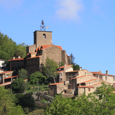
Santa Anna dels Quatre Termes, Mountain summit in Pyrénées-Orientales, France
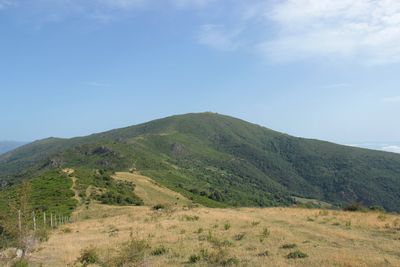
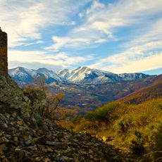
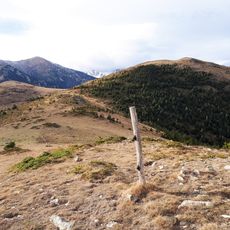
Santa Anna dels Quatre Termes is a mountain summit in the Pyrenees reaching 1,348 meters high, forming a natural boundary between the Conflent and Rosselló regions. The peak has several slopes and terrain features that create distinct pathways across the mountainside.
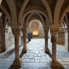
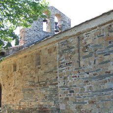
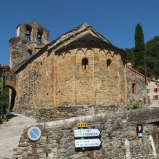
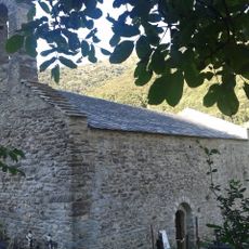
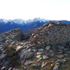
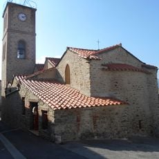
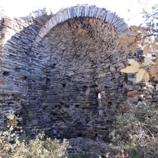
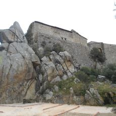
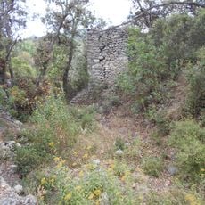
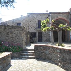
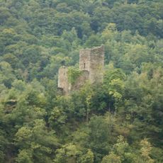
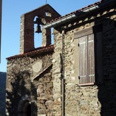
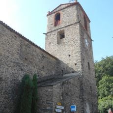
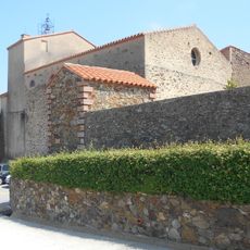
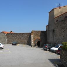
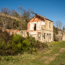
The ruins of a chapel near the summit date to the 17th century, reflecting religious activities in this mountainous area of the Pyrenees. These remains show that people have been active in this remote mountain region for centuries.
The mountain's name refers to four boundary markers that meet at its peak, marking the edges of surrounding villages. You can see this old connection between nature and human settlement in how the mountain shapes the landscape.
A circular hiking trail of approximately 42 kilometers was established in 2017, taking visitors across the various slopes of the mountain. When planning your hike, remember that the route covers uneven terrain and changes in elevation throughout.
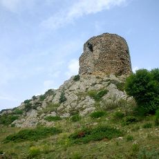
The mountain's rock structure is composed of schist formed during the Ediacaran period, roughly 600 to 550 million years ago. This ancient geological composition makes the peak a fascinating place for those interested in how the earth's surface developed.
Location: La Bastide
Location: Boule-d'Amont
Location: Glorianes
Elevation above the sea: 1,348 m
Part of: liste des 100 sommets de la FEEC
GPS coordinates: 42.56514,2.56117
Latest update: December 14, 2025 20:23
Serrabone Priory
4.9 km
Chapelle de la Trinité de Prunet-et-Belpuig
5.3 km
Tour de Batère
6.4 km
Château de Belpuig
4.9 km
Église Saint-Saturnin de Boule-d'Amont
4.6 km
Pic de l'Estelle
5.6 km
Ancienne église Saint-André de Baillestavy
3.2 km
Chapelle Santa Anna dels Quatre Termes
174 m
Église Sainte-Colombe de Finestret
6.9 km
Ancienne église Saint-Martin de Joch
6.7 km
Église Saint-Michel de La Bastide
3 km
Église Saint-Martin de Joch
6.5 km
Église Saint-Étienne de Sofrunys
5.5 km
Château de Joch
6.5 km
Nouvelle église Saint-André de Baillestavy
3 km
Castell d'Eus
6.5 km
Pont de la Farga
2.9 km
Castell de Casesnoves
5.9 km
Église Saint-Vincent de Valmanya
3.2 km
Château de Saint-Marsal
5.7 km
Castell de Vallmanya
4.1 km
Sant Pere i Sant Pau del Castell de Jóc
6.5 km
Sant Marçal de Sant Marçal
5.7 km
Église Saint-Étienne de Glorianes
2.8 km
Église Sainte-Eulalie-et-Sainte-Julie de Rigarda
7 km
Église Saint-Martial de Saint-Marsal
5.8 km
Fortified town of Sant Marçal
5.8 km
Sites miniers de la Pinouse, de Roque Jalère et des Manerots et installations de transport de minerai
4.2 kmVisited this place? Tap the stars to rate it and share your experience / photos with the community! Try now! You can cancel it anytime.
Discover hidden gems everywhere you go!
From secret cafés to breathtaking viewpoints, skip the crowded tourist spots and find places that match your style. Our app makes it easy with voice search, smart filtering, route optimization, and insider tips from travelers worldwide. Download now for the complete mobile experience.
A unique approach to discovering new places❞
— Le Figaro
All the places worth exploring❞
— France Info
A tailor-made excursion in just a few clicks❞
— 20 Minutes