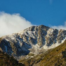
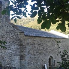
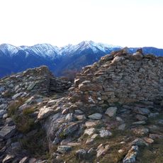
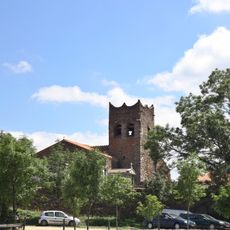
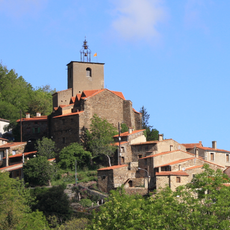
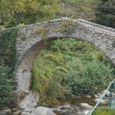
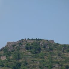
Pic de l'Estelle, Mountain summit in Pyrénées-Orientales, France.
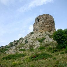
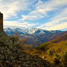
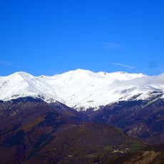
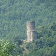
Pic de l'Estelle (Catalan: Puig de l'Estela) is a 1,778-meter summit on the eastern side of the Canigou massif, where the borders of Conflent, Vallespir and Roussillon meet. Its slopes are of diorite from the Batère pluton, intruded about 300 million years ago. On the southern side stand the Batère signal tower and mines; the Pinosa mining site lies to the north.
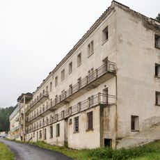
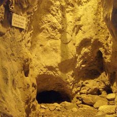
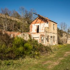
Mining shaped the area, particularly the Pinosa site on the northern slopes which extracted minerals from the mountain for centuries. This industrial activity influenced the development of surrounding settlements.
The summit marks the meeting point of three historic regions: Conflent at Valmanya to the northwest, Vallespir at Corsavy to the south, and Roussillon at La Bastide to the northeast. It also marks one of the boundaries between Alt and Baix Vallespir, the other being the Roc de Fraussa. The name Estelle or Estella appears on French and Catalan maps.
The trail is well-marked but steep, especially higher up, so solid hiking boots and good fitness are needed. Start early to have plenty of daylight, and bring water and snacks since there are no facilities along the way.
In the late 18th century, surveyors used this summit as a triangulation point to measure the meridian passing through Dunkerque, Paris and Barcelona, work that helped establish the length of the metre. The peak is also listed among the 100 summits of the FEEC under the Catalan name Puig de l'Estella.
The community of curious travelers
AroundUs brings together thousands of curated places, local tips, and hidden gems, enriched daily by 94,148 contributors worldwide.