Col du Bois Clair, Mountain saddle in Sologny, France
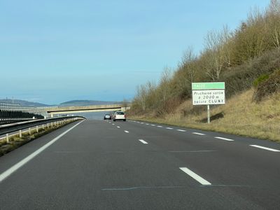
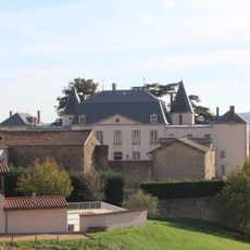
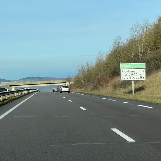
Col du Bois Clair is a mountain saddle near Sologny at approximately 394 meters in elevation, cutting through the gentle rolling hills of Saône-et-Loire. The passage links two valleys and reveals the undulating terrain typical of eastern France's landscape.
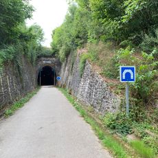
On 11 August 1944, 2,000 German soldiers based in Mâcon were ordered to destroy the Resistance stronghold around Cluny. The fighting reached the col, where the Resistance blocked the road access to the town through the railway tunnels; Cluny was bombed twice that day without success, was partly destroyed, and became the first town liberated in Saône-et-Loire.
Col du Bois Clair serves as a natural crossroads where locals and travelers have historically moved between different valleys. The saddle remains a working passage that connects distinct regional landscapes and the communities on either side.
The saddle sits along Route nationale 79, providing easy access for drivers and cyclists traveling between regions. Several small rest spots along the route allow visitors to stop and take in views of the surrounding hills.
The old Bois-Clair railway tunnel runs beneath the pass; it is now used by a greenway rather than trains. In 2024 the climb, 2.7 km at 3.7%, featured on stage 6 of the Tour de France, where Jonas Abrahamsen crossed first.
The community of curious travelers
AroundUs brings together thousands of curated places, local tips, and hidden gems, enriched daily by 94,005 contributors worldwide.