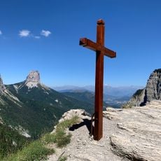
Croix de Lautaret, Mountain summit in Isère, France
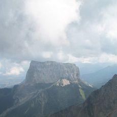
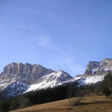
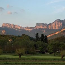
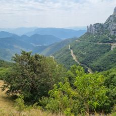
Croix de Lautaret is a mountain peak standing at 1858 meters in the Isère region with limestone rocks visible across its slopes. Alpine meadows spread over the northeastern and southwestern sides, creating a landscape of grass and exposed stone.
Since the Middle Ages, this peak has marked a natural border between mountain communities living in surrounding valleys. Travelers crossing alpine passes used it as a reference point to navigate their routes.
Shepherds move their flocks to the slopes during different seasons, shaping how the grasslands look and function. This practice creates the open meadows that visitors encounter when exploring the slopes.
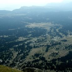
The climb starts from Chichilianne village using marked paths that take about six hours for the round trip. Good hiking boots and rain protection are essential since weather can change quickly at higher elevations.
The rocks at the summit hold Jurassic fossils that reveal the area was once underwater. These ancient traces tell the story of a completely different landscape from millions of years ago.
The community of curious travelers
AroundUs brings together thousands of curated places, local tips, and hidden gems, enriched daily by 60,000 contributors worldwide.