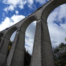
Jocou, Mountain summit in Vercors Regional Nature Park, France
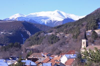
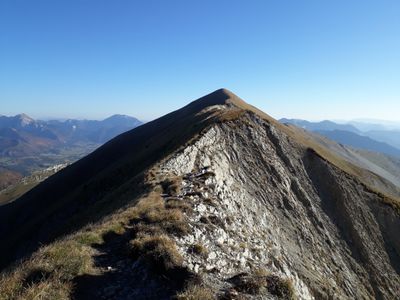
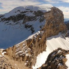
Jocou is a mountain summit in the Vercors Regional Nature Park that rises to 2051 meters with steep sides and thick forests throughout its slopes. Along the ascent, dense woodland gives way to flowering meadows that shift with the seasons and elevation.
The Vercors region including this mountain served as a strategic base for French Resistance fighters during World War II. The rugged landscape and forests provided natural shelter for resistance operations during that period.
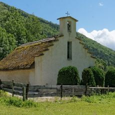
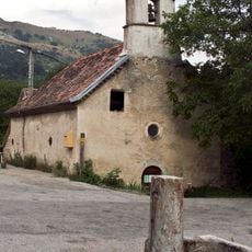
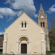
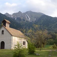
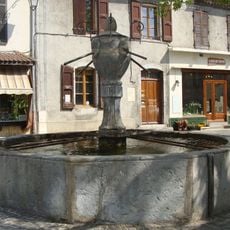
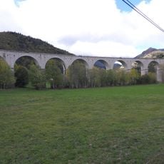
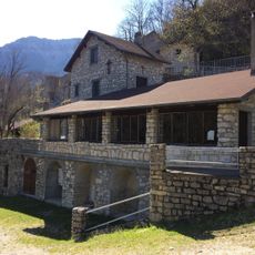
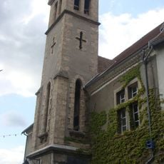
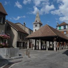
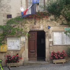
The paths around this mountain connect traditional alpine villages where local festivals celebrate mountain life and regional food traditions. Visitors experience how communities in these highlands maintain their connection to the land and each other.
Several marked trails lead to the summit, with the main route from Col de Grimone offering clear signage and moderate difficulty throughout. The paths are well maintained and suitable for walkers with varying fitness levels.
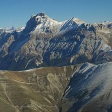
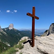
The summit offers a rare vantage point where visitors can see both the Alps to the north and the landscape of Provence to the south. This overlook of two distinct regions from one location is an uncommon experience in the park.
Location: Isère
Elevation above the sea: 2,051 m
GPS coordinates: 44.72415,5.64712
Latest update: December 14, 2025 11:43
Cirque d'Archiane
11.6 km
Grand Ferrand
13.3 km
Rocher Rond
14.6 km
Café des Arts
13.4 km
Église de l'Assomption de Clelles
11.7 km
Église de l'Assomption de Mens
13.4 km
Église saints Pierre et Paul (Glandage)
5.6 km
Église Saint-Barthélemy de Prébois
8.2 km
Église Notre-Dame de Chichilianne
11.3 km
Église de la Visitation de Lalley
4.4 km
Église Saint-Martin de Saint-Martin-de-Clelles
13.6 km
Église Saint-Blaise de Saint-Julien-en-Beauchêne
13 km
Église Saint-Julien de Châtillon-en-Diois
13.2 km
Église Saint-Pierre du Monestier-du-Percy
7.9 km
Chapelle de Trézanne
14.4 km
Parassat bridge
11.5 km
Église Saint-Jean-Baptiste de Grimone
3.2 km
Église Saint-Baudille de Saint-Baudille-et-Pipet
11.7 km
Orbanne Viaduct
12.7 km
Pas de l'Aiguille
14.1 km
Chapelle Notre-Dame-du-Bon-Secours de Lalley
4.2 km
Fontaine de la Place de la Halle
13.3 km
Fauries Viaduct
5.3 km
Ermitage Notre-Dame d'Esparron
6.6 km
Protestant church in Mens
13.3 km
Château de Montmeilleur
11.6 km
Market hall in Mens
13.3 km
Hôtel de ville de Châtillon-en-Diois
13.2 kmVisited this place? Tap the stars to rate it and share your experience / photos with the community! Try now! You can cancel it anytime.
Discover hidden gems everywhere you go!
From secret cafés to breathtaking viewpoints, skip the crowded tourist spots and find places that match your style. Our app makes it easy with voice search, smart filtering, route optimization, and insider tips from travelers worldwide. Download now for the complete mobile experience.
A unique approach to discovering new places❞
— Le Figaro
All the places worth exploring❞
— France Info
A tailor-made excursion in just a few clicks❞
— 20 Minutes