Grand Ferrand, Mountain summit in Dévoluy massif, France
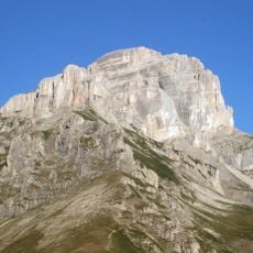
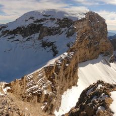
Grand Ferrand is a limestone summit in the Dévoluy massif of the French Alps, reaching 2758 metres on the border between Isère and Hautes-Alpes. Its upper part is pale grey and white rock with steep, snow-dusted faces and gullies, while the lower flanks are dark brown and grey, scored by vertical ravines and ridges.
Grand Ferrand lies on the boundary between the modern departments of Isère and Hautes-Alpes, the line between the Dauphiné and Provence regions. The summit is the second highest of the Dévoluy massif, after the Obiou, and is far less visited than the Obiou or the Pic de Bure. Its limestone rock is typical of the Préalpes.
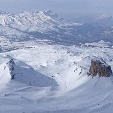
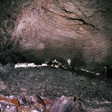
In the Dévoluy, a chourum is a rocky sinkhole, and two of them lie on the eastern face of Grand Ferrand. The ski route through them, the Chourum Olympique, is known among ski mountaineers well beyond France. The name Dévoluy itself is remembered locally for the word chourum, which belongs to this massif's own speech.
The route to the summit requires climbing experience and proper equipment, particularly during winter when snow and ice cover the slopes. Inexperienced climbers should attempt this peak only with a local guide or seek out easier alternatives in the area.
The Chourum Olympique ski route, on the east face opposite the summit, passes through two chourums — the Dévoluy word for rocky dolines — and is known internationally among ski mountaineers. The easiest summer ascent starts from the Col du Charnier at 2100 m, reached via the GR 93, and ends with a few sometimes exposed climbing moves above deep drops.
The community of curious travelers
AroundUs brings together thousands of curated places, local tips, and hidden gems, enriched daily by 92,643 contributors worldwide.