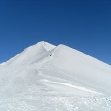
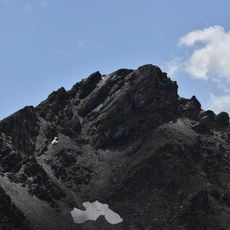
Cime de la Condamine, Mountain summit in Écrins National Park, France
Cime de la Condamine is a mountain summit in the Hautes-Alpes, about 9.7 km west of Briançon. It rises to 2,940 metres, with a prominence of 505 metres above the surrounding terrain. The mountain lies in a boreal climate zone, with average temperatures of 5 °C and July averages of 17 °C.
The mountain served as a landmark for shepherds following seasonal routes through Alpine valleys since the 18th century. These paths allowed local communities to make use of high pastures during summer months and lower elevations in winter.
The summit lies about 9.7 km west of Briançon, in the Vallouise-Pelvoux area of the Hautes-Alpes. Its slopes rise 505 m above the surrounding terrain, and the land around it is mostly covered by grassland and heath used for grazing. The nearest higher peak, Pointe Durand at 3,932 m, stands 9.3 km to the east.
The hike from the starting point involves a full day of walking with steep sections and significant elevation gain. Good footwear and plenty of water are essential, especially when the mountain carries snow or conditions are unstable.
The ascent includes several sections where hand holds are necessary to progress safely. The final stretch to the summit demands basic climbing skills and physical endurance.
The community of curious travelers
AroundUs brings together thousands of curated places, local tips, and hidden gems, enriched daily by 94,661 contributors worldwide.