Rocher de l'Yret, Mountain summit in Hautes-Alpes, France.
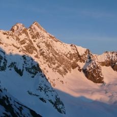
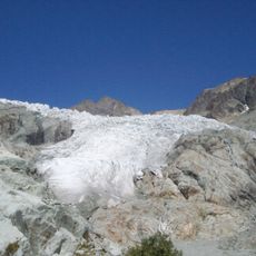
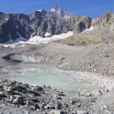
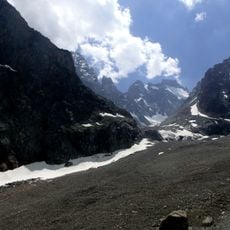
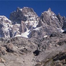
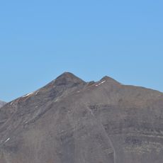
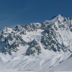
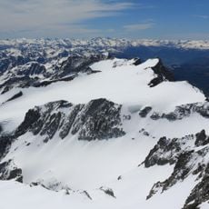
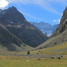
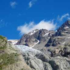
Rocher de l'Yret is a summit of 2,830 metres on the edge of Écrins National Park, between Le Monêtier-les-Bains and Vallouise-Pelvoux in the Hautes-Alpes. Its upper face is black and charcoal-grey fractured rock, cut by sharp ridges and deep vertical fissures, with a band of paler grey rock running down the centre. Loose dark scree covers the lower slopes, and two patches of snow or ice remain on the flanks.
The sources record no climbing-route redesign or fixed metal aids on Rocher de l'Yret. The only documented ascent line is a single route: from the top of the Bachas up to the Col de l'Eychauda, then along the service road of the Yret chairlift to below the summit, finished over steep scree and rock. The summit stands at 2,830 m between Le Monêtier-les-Bains and Vallouise-Pelvoux, on the edge of Écrins National Park.
The Rocher de l'Yret lies on the boundary between the communes of Le Monêtier-les-Bains and Vallouise-Pelvoux, at the edge of Écrins National Park. Its single ascent route passes the col de l'Eychauda and follows the service road of the Yret chairlift before the final slope of scree and rock.
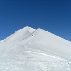
The only route starts from the top of the Bachas, climbs to the Col de l'Eychauda, then follows the service road of the Yret chairlift beneath the summit. The final stretch is a steep slope of scree and rock. The summit stands at 2,830 metres, between Le Monêtier-les-Bains and Vallouise-Pelvoux.
The only route starts from the top of the Bachas, climbs to the Col de l'Eychauda, then follows the service road of the Yret chairlift beneath the summit. The final stretch is a steep slope of scree and rock, with no other marked way to the top.
The community of curious travelers
AroundUs brings together thousands of curated places, local tips, and hidden gems, enriched daily by 94,236 contributors worldwide.