Mont de Gez, Mountain summit in the French Pyrenees, France
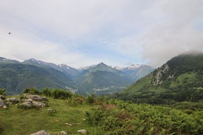
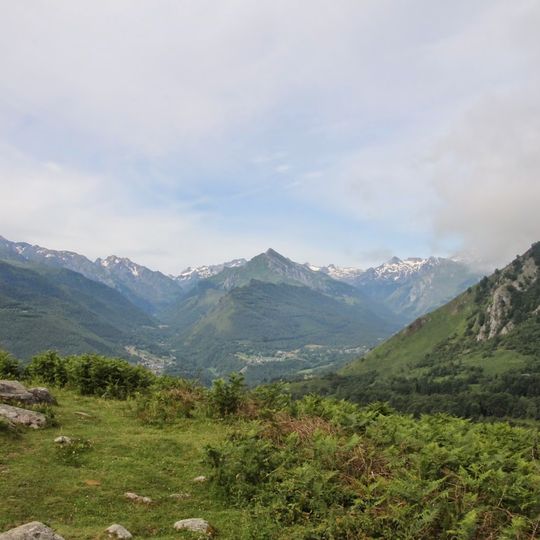
Mont de Gez is a mountain summit in the French Pyrenees that rises to approximately 1,100 meters. Its slopes feature a mix of rocky terrain and forested areas that create varied hiking conditions.
Mont de Gez was shaped by tectonic movements and glacial processes that acted over millions of years to form the Pyrenees. These geological forces created the mountain structure that exists in the landscape today.
Mont de Gez lies in Arras-en-Lavedan, about 12 km north of Lourdes, and its name appears in local usage as the "monte de Gez". The surrounding slopes are wooded, with beech and oak forest typical of the Argelès-Gazost area, and the mountain is one of the summits framing the approach to the Pic de Cabaliros, 8.6 km to the south.
The mountain is accessed through marked trails, with parking available at the base. Visitors should wear proper hiking footwear and bring water, as conditions on the slopes can vary.
From the summit, visitors can see both French and Spanish territory in the distance on clear days, with the border running along the ridgeline. This vantage point clearly shows how the Pyrenees divide the two countries.
The community of curious travelers
AroundUs brings together thousands of curated places, local tips, and hidden gems, enriched daily by 94,446 contributors worldwide.