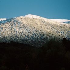
Pic de la Pelade, Mountain summit in Eastern Pyrenees, France
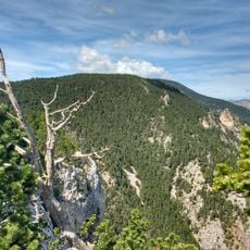
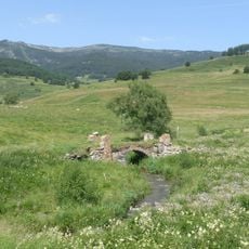
Pic de la Pelade is a summit at 2,302 meters (7,552 feet) in the Eastern Pyrenees that rises from the Cerdagne-Capcir-Conflent massif. From the top, views stretch across multiple mountain ranges that form the larger landscape of this region.
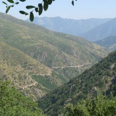
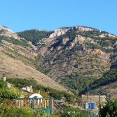
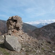
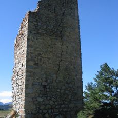
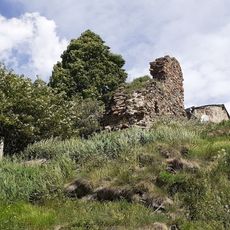
Trails around this summit were established in the early 20th century to connect local villages and communities. These paths grew from older shepherd routes that had crossed these mountains for centuries before.
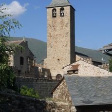
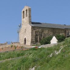
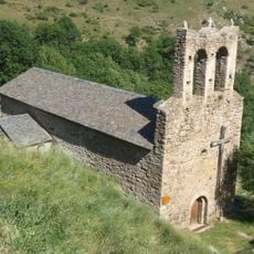
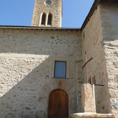
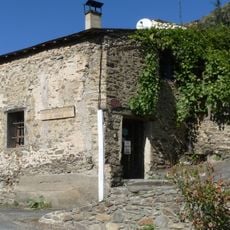
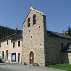
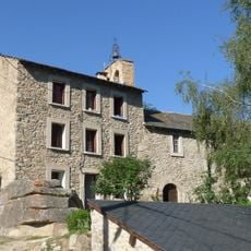
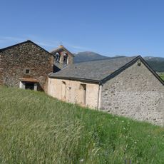
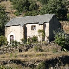
The summit sits within the Parc naturel régional des Pyrénées catalanes, where French and Catalan mountain traditions shape how people use these lands. The area reflects a way of life tied to seasonal grazing and forest management that locals have practiced for generations.
Access begins from the village of Réal using the D118 road, which connects to marked walking trails. The path climbs through forest before reaching Col de Sansa, from where the final section to the top continues.
The summit marks where two different rock types meet: limestone on one side and granite on the other. This geological boundary creates distinctly different habitats and landscapes on each flank of the mountain.
The community of curious travelers
AroundUs brings together thousands of curated places, local tips, and hidden gems, enriched daily by 60,000 contributors worldwide.