Pic Arapoup, Mountain summit in Pyrenees, France
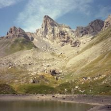
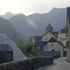
Pic Arapoup is a mountain summit in the Pyrenees standing at 1646 meters, featuring exposed rock formations and several marked hiking paths that lead to its peak. The terrain around the climb transitions from forested slopes to open alpine terrain.
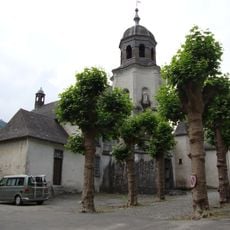
The mountain served as a geographical landmark for nearby communities across centuries, helping to define boundaries between the different valleys in the region. This role shaped how people understood and navigated the landscape around them.
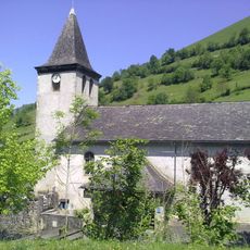
Local shepherds maintain traditional pastoral practices around Pic Arapoup, continuing the ancient methods of seasonal livestock movement through mountain passages.
The Cabane de Sabas shelter lies roughly 850 meters west of the summit and works as a practical starting point for the hike. Visitors should be prepared for changing weather at higher elevations and wear sturdy footwear.
On clear days, visitors from the summit can see across into both French and Spanish territory, making the mountain's role as a natural border point immediately obvious. The vista shows why this peak has been significant in understanding the landscape on both sides.
The community of curious travelers
AroundUs brings together thousands of curated places, local tips, and hidden gems, enriched daily by 60,000 contributors worldwide.