PC 468 m, Mountain summit near Luberon, France
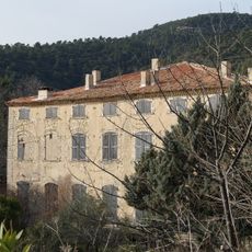
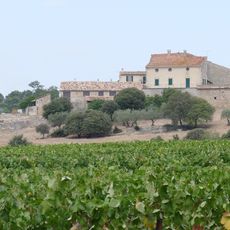
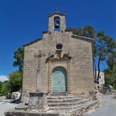
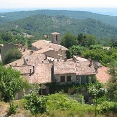
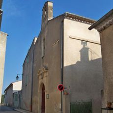
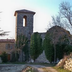
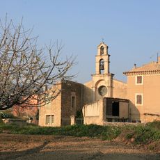
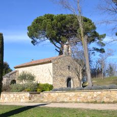
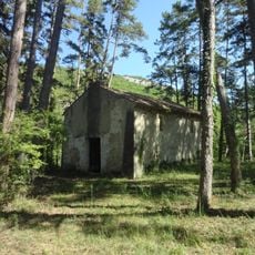
PC 468 m is a mountain summit in the Luberon region and reaches an elevation of 468 meters. The peak offers views across the surrounding Provençal landscape with its characteristic hills and valleys.
This summit has served as a reference point for surveyors since the 19th century when French geographic measurement standards were established. The geodetic markers and measurements have been maintained and updated over many decades.
Local geographers and mapmakers regularly use PC 468 m as an educational site to demonstrate elevation measurement techniques to geography students.
You can reach the summit via marked hiking trails that connect with the broader path network of the Luberon range. The route is accessible to hikers of various levels, though the total duration depends on your starting point.
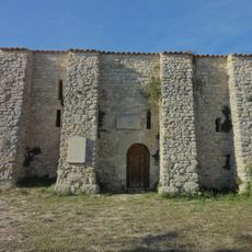
The summit features a surveying stone placed by engineers to help them map the land systematically. This small marker is easy to overlook, but it shows how places are catalogued and recorded for maps.
The community of curious travelers
AroundUs brings together thousands of curated places, local tips, and hidden gems, enriched daily by 60,000 contributors worldwide.