Les Saix d'en Haut, Mountain summit in French Alps, France
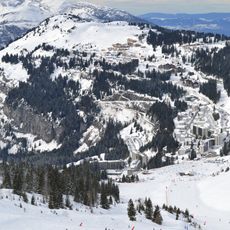
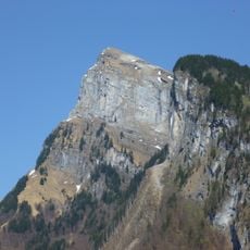
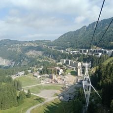
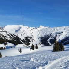
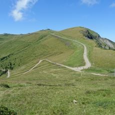
Les Saix d'en Haut is a mountain summit in the French Alps standing at 1627 meters elevation, with several marked hiking routes crossing its slopes and ridges. The peak opens onto views of the surrounding valleys and distant mountains that stretch across the landscape.
For centuries, shepherds used this mountain as a navigation landmark during their seasonal movements across the alpine region. Its distinctive silhouette made it easy to recognize from great distances.
Local mountain communities organize annual gatherings at the base of Les Saix d'en Haut to celebrate traditional alpine customs and share regional mountain knowledge.
Hikers can reach the summit from multiple trailheads, with the most direct routes taking around three hours to complete. Starting early in the day and preparing for changing mountain weather conditions is advisable.
The summit experiences specific weather patterns where clouds frequently form at midday, creating a natural meteorological indicator for local weather forecasting.
The community of curious travelers
AroundUs brings together thousands of curated places, local tips, and hidden gems, enriched daily by 60,000 contributors worldwide.