Plan d'eau d'Embrun

Log in to your account

AroundUs is a community-driven map of interesting places, built by curious explorers like you. It grows with every review, story, and photo you share.
Connect to save your favorite spots, contribute locations, and create personalized routes.
Continue with Google
Continue with Apple
Continue with X
Continue with Facebook
Continue with email
By continuing, you accept our Terms and Conditions and our Privacy Policy
Create an account

Plan d'eau d'Embrun

Add to collection
Map
Suggest a change
Share

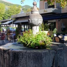
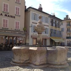
Plan d'eau d'Embrun, Recreational lake in Embrun, France.

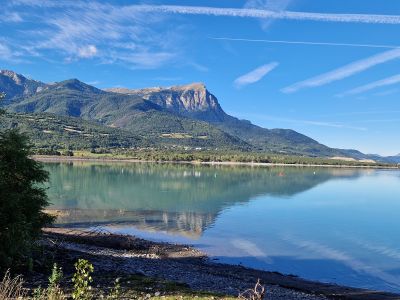
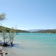
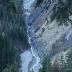
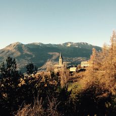
Plan d'eau d'Embrun is a 27-hectare reservoir nestled in the French Alps, created by the construction of the Serre-Ponçon dam. The water body features natural beaches and wooded shorelines, surrounded by the mountains of the Hautes-Alpes region in southeastern France.

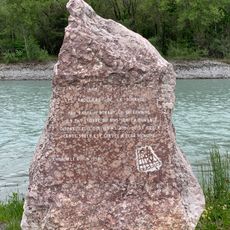
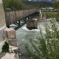
The lake came into being in 1960 following the construction of the Serre-Ponçon dam, which transformed a section of the Durance River into a water reservoir and recreational zone. This project was part of broader efforts to harness river resources for power generation and tourism development.

The lake hosts the international Embrun Man triathlon, attracting athletes from around the world who come to test themselves in this demanding mountain competition. The event has made this destination known among endurance sports enthusiasts.

The lake provides visitors with access to shaded parking areas, public showers, and restroom facilities available throughout the year. Swimming conditions are most comfortable during July and August, when water temperatures rise and lifeguards are on duty to monitor the beach.

A footpath called 'Au Fil de l'Eau' circles the entire shoreline for about 2.6 kilometers, revealing different viewpoints of the surrounding landscape. The trail connects quiet sections with scenic overlooks that open onto the surrounding mountains.

Location: Embrun

Address: Plan d'Eau, 05200 Embrun, France

GPS coordinates: 44.54903,6.47248

Latest update: December 6, 2025 19:04

Photos
The large lakes of Provence-Alpes-Côte d'Azur

The Provence-Alpes-Côte d'Azur region has many lakes spreading from the Southern Alps to the Verdon gorge. Serre-Ponçon Lake covers about 28 km² and features sandy beaches and small coves tucked between forests. Sainte-Croix Lake is France's third-largest lake. High-altitude lakes like Allos and...

Reviews

Visited this place? Tap the stars to rate it and share your experience / photos with the community! Try now! You can cancel it anytime.

« Plan d'eau d'Embrun - Recreational lake in Embrun, France » is provided by Around Us (aroundus.com). Images and texts are derived from Wikimedia project under a Creative Commons license. You are allowed to copy, distribute, and modify copies of this page, under the conditions set by the license, as long as this note is clearly visible.

Discover hidden gems everywhere you go!

From secret cafés to breathtaking viewpoints, skip the crowded tourist spots and find places that match your style. Our app makes it easy with voice search, smart filtering, route optimization, and insider tips from travelers worldwide. Download now for the complete mobile experience.

Around Us App Screenshot

A unique approach to discovering new places

Le Figaro

All the places worth exploring

France Info

A tailor-made excursion in just a few clicks

20 Minutes