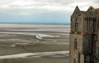
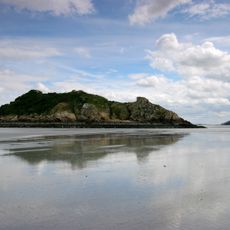
Baie du mont Saint-Michel, Protected wetland in Normandy, France.
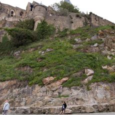
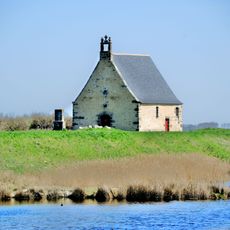
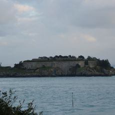
The Bay of Mont-Saint-Michel is an extensive mudflat system along the coast between Brittany and Normandy, stretching across dozens of kilometers. The landscape consists of wide expanses of silt and salt marshes that shift constantly with the tides, creating a complex web of channels, shallow pools, and grassy areas rich in life.
The bay received designation as a Ramsar site in 1994, an international recognition of its importance as a wetland for protecting biodiversity. This protected status reflected the ecological significance of the area and committed it to conservation efforts.
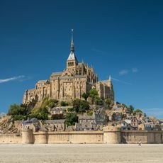
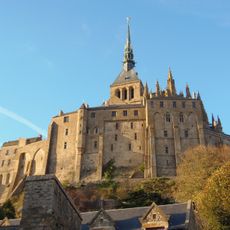
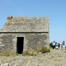
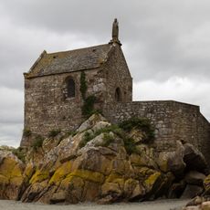
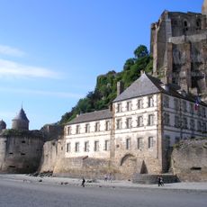
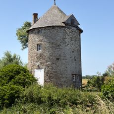
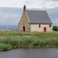
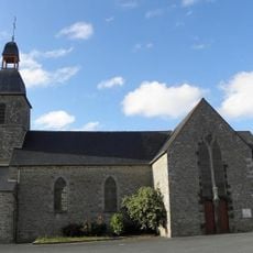
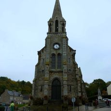
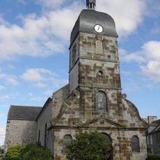
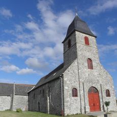
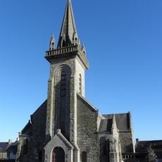
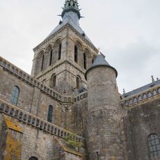
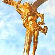
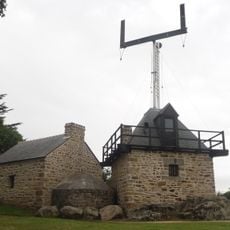
The bay takes its name from Mont-Saint-Michel, the famous abbey perched on an island at the water's edge that has drawn pilgrims for centuries. Local communities have shaped their lives around the rhythms of the tides and the resources these waters provide.
The area is accessible from many small towns including Cancale, Avranches, and Granville, each offering parking and visitor information. The best time to explore is at low tide when the mudflats are exposed and easier to walk across with guidance.
The area functions as a nursery ground for the majority of marine fish species in the Norman-Breton Gulf and hosts significant populations of harbor seals. Many visitors overlook that these mammals stay year-round and can be spotted resting on the mudflats when the water recedes.
The community of curious travelers
AroundUs brings together thousands of curated places, local tips, and hidden gems, enriched daily by 60,000 contributors worldwide.