
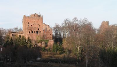
Ottrotter Schlösser, group of historic buildings and ruins
GPS coordinates: 48.46120,7.40738
Latest update: June 23, 2025 11:45

Mont Sainte-Odile
2.7 km
Mont Sainte-Odile Abbey
2.6 km
Niedermunster Abbey
2.9 km
Château de la Leonardsau
2.8 km
Château de Lutzelbourg
54 m
Heidenkopf
2.9 km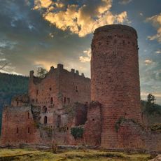
Château de Rathsamhausen
49 m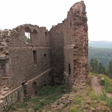
Château de Dreistein
2.7 km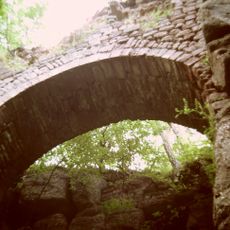
Château du Hagelschloss
1.9 km
Carrières de Saint-Nabor
1.9 km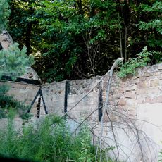
Prieuré de Saint-Gorgon
1.6 km
Foyer de charité d'Ottrott
1.6 km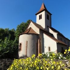
Chapelle Saint-Nicolas d'Ottrott
1.7 km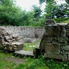
Chapelle Saint-Jacques de l'abbaye de Niedermunster
2.9 km
Église Saint-Nabor de Saint-Nabor
2.1 km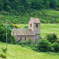
Chapelle Saint-Nicolas de Niedermunster
2.9 km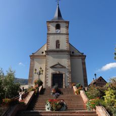
Église Saints-Simon-et-Jude d'Ottrott
1.3 km
Château de Klingenthal
931 m
Basilique Notre-Dame-de-l'Assomption de Mont Sainte-Odile
2.6 km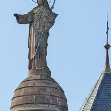
Statue de Sainte-Odile
2.6 km
Église Saint-Louis de Klingenthal
951 m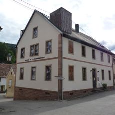
Maison de la Manufacture de Klingenthal
887 m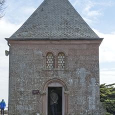
Chapelle des Larmes
2.6 km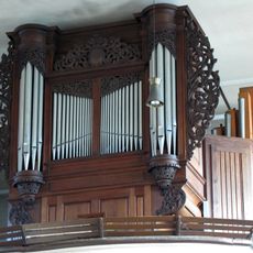
Orgue de tribune de l'église Saints-Simon-et-Jude de Ottrott
1.3 km
Monastère de Saint-Léonard, Bœrsch
2.4 km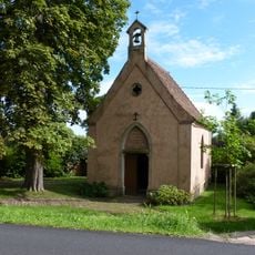
Chapelle Notre-Dame-aux-Chênes de Saint-Léonard
2.2 km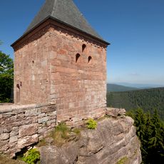
Chapelle des Anges
2.6 km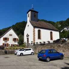
Église protestante
918 mVisited this place? Tap the stars to rate it and share your experience / photos with the community! Try now! You can cancel it anytime.
Discover hidden gems everywhere you go!
From secret cafés to breathtaking viewpoints, skip the crowded tourist spots and find places that match your style. Our app makes it easy with voice search, smart filtering, route optimization, and insider tips from travelers worldwide. Download now for the complete mobile experience.

A unique approach to discovering new places❞
— Le Figaro
All the places worth exploring❞
— France Info
A tailor-made excursion in just a few clicks❞
— 20 Minutes