Allée couverte de Kerroyal, dolmen en ruine et submergé à marée haute, à Plougoumelen, France
Location: Plougoumelen
Part of: dolmens de Keroyal
GPS coordinates: 47.66586,-2.92697
Latest update: June 17, 2025 04:04
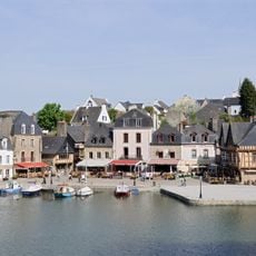
Saint-Goustan
3.8 km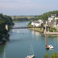
Vieux pont suspendu de Bono
3.4 km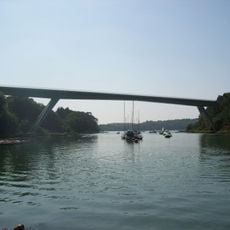
Pont Joseph-Le-Brix
3.7 km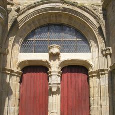
Chapelle Sainte-Avoye
2.1 km
Château de Kermadio
3.7 km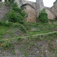
Château d'Auray
4 km
Pont de Saint-Goustan
3.9 km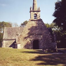
Chapelle Notre-Dame-de-Becquerel
2.4 km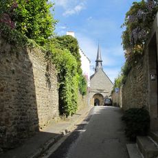
Église Saint-Goustan d'Auray
3.7 km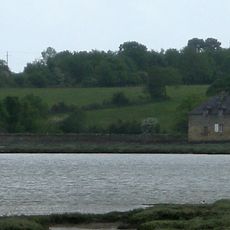
Kervilio tide mill
1.8 km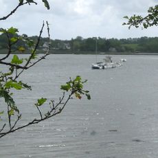
Port de Plougoumelen
1.2 km
Croix percée de Pluneret
3.1 km
Dolmen de Kervingu
2.8 km
Croix de Saint-Fiacre
3.3 km
Croix du Loch
4 km
Église Saint-Pierre-et-Saint-Paul de Pluneret
2.5 km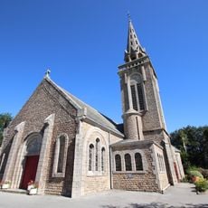
Église Notre-Dame-des-Flots de Bono
3.4 km
Chapelle Notre-Dame-de-Lourdes d'Auray
3.8 km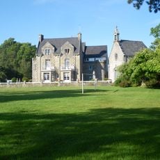
Chapelle Sainte-Anne de Kerplouz
3.6 km
Maison ( 22, 28 Rue rue Vannier, Auray)
4 km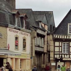
Maison, 1 rue du Petit Port, Auray
3.9 km
Pont-Sal tide mill
283 m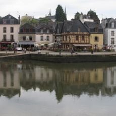
Maison, 21 place Saint-Sauveur
3.9 km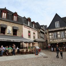
Maison, 19 place Saint-Sauveur
3.9 km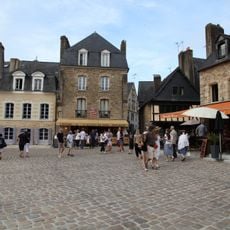
Maison, 5 place Saint-Sauveur
3.9 km
Maison, 1-3 place Saint-Sauveur
3.9 km
Maison, 3 rue Saint-René
3.9 km
Maison 2 rue Neuve, Auray
3.9 kmReviews
Visited this place? Tap the stars to rate it and share your experience / photos with the community! Try now! You can cancel it anytime.
Discover hidden gems everywhere you go!
From secret cafés to breathtaking viewpoints, skip the crowded tourist spots and find places that match your style. Our app makes it easy with voice search, smart filtering, route optimization, and insider tips from travelers worldwide. Download now for the complete mobile experience.

A unique approach to discovering new places❞
— Le Figaro
All the places worth exploring❞
— France Info
A tailor-made excursion in just a few clicks❞
— 20 Minutes