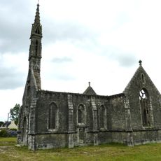
Forêt domaniale de Huelgoat, National forest in Brittany, France.
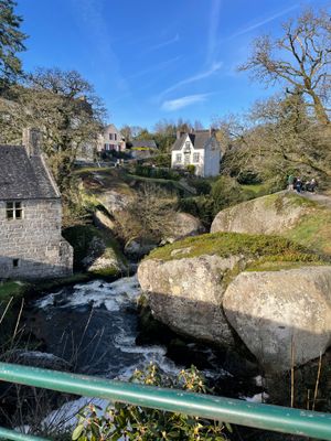
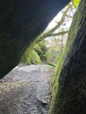
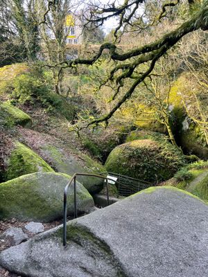
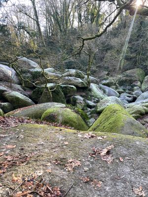
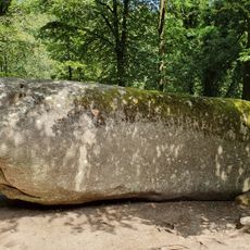
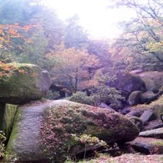
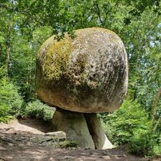
Forêt domaniale de Huelgoat is a forested area in Brittany that spreads across rolling terrain, showing a mix of broadleaf and conifer trees standing among large granite rock formations. The forest contains streams, deep ravines, and natural rock outcrops that shape the walking experience.
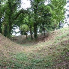
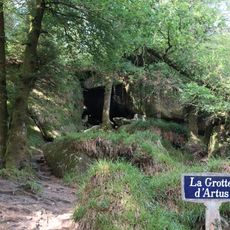
The area was a mining zone from 1750 to 1934, when workers systematically extracted ore from the ground. Those industrial years left marks on the landscape that remain visible today.
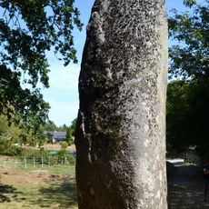
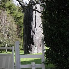
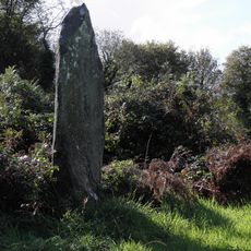
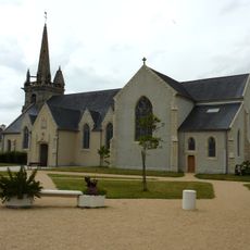
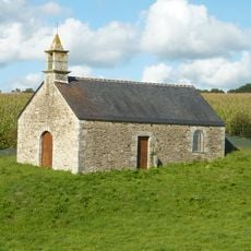
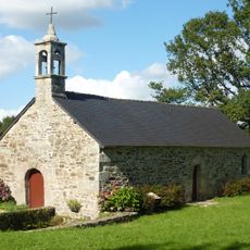
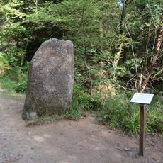
The place draws its name from the Breton language and holds deep connections to ancient Celtic traditions that remain part of local storytelling today. Visitors sense this heritage as they walk among rock formations that have held significance for generations.
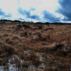
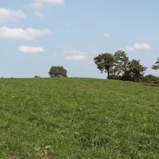
The area has several walking trails of varying difficulty, all well marked and reachable from different parking spots. It's wise to wear comfortable shoes and prepare for changing weather, as the landscape is open and rolling.
Water flows through granite crevices as natural waterfalls and underground channels that were artificially enlarged during the mining era. This blend of nature and old industry creates a distinctive landscape that you seldom see elsewhere.
Location: Berrien
Location: Huelgoat
Location: Poullaouen
GPS coordinates: 48.37694,-3.71111
Latest update: December 6, 2025 19:07
Rocking stone of Huelgoat
2.7 km
Chapelle de Coat Quéau
3.6 km
Réserve naturelle régionale des landes et tourbières du Cragou et du Vergam
8.1 km
Menhir de Kerampeulven
3.2 km
Poërop Arboretum
3.1 km
Menhir du Cloître
6.2 km
Église Saint-Pierre de Berrien
4.2 km
Alignement de Leïtan
7.9 km
Motte castrale de Rospellem
8.2 km
Église Saint-Yves de Huelgoat
2.9 km
Église Saint-Pierre-et-Saint-Paul de Poullaouen
6.5 kmChaos du Ménage de la Vierge
2.7 km
Chapelle Notre-Dame-des-Cieux
3.2 km
Église Saint-Pierre de Scrignac
6.7 km
Chapelle Saint-Victor de Poullaouen
5.3 km
Grotte d'Artus
2 km
Chapelle Notre-Dame-du-Paradis de Saint-Quijeau
4 km
Le champignon
2.9 km
Église Notre-Dame-de-Bonne-Nouvelle de Locmaria-Berrien
2.9 km
Tumulii de Kerelcun
8.3 km
Chapelle Saint-Cado de Carnoët
8.3 km
Chapelle Saint-Salomon de Plouyé
8.6 km
Chapelle Saint-Corentin de Trénivel
5.7 km
Chapelle Saint-Maudez de Plouyé
5.7 km
Chapelle Saint-Mathurin de Plouyé
6.2 km
Chapelle Sainte-Barbe
4.1 km
Menhir de la mare aux sangliers
2 kmVisited this place? Tap the stars to rate it and share your experience / photos with the community! Try now! You can cancel it anytime.
Discover hidden gems everywhere you go!
From secret cafés to breathtaking viewpoints, skip the crowded tourist spots and find places that match your style. Our app makes it easy with voice search, smart filtering, route optimization, and insider tips from travelers worldwide. Download now for the complete mobile experience.
A unique approach to discovering new places❞
— Le Figaro
All the places worth exploring❞
— France Info
A tailor-made excursion in just a few clicks❞
— 20 Minutes