
Baden-Bismarck ouvrage, ouvrage de la ceinture fortifiée de Strasbourg (1875-1888)
Location: Oberhausbergen
Inception: 1888
GPS coordinates: 48.59891,7.67565
Latest update: March 13, 2025 07:21
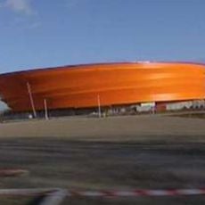
Zénith de Strasbourg
1.1 km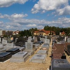
Cronenbourg Jewish cemetery
3.6 km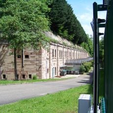
Fort Kronprinz
3.4 km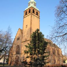
Église Saint-Sauveur, Strasbourg
3.1 km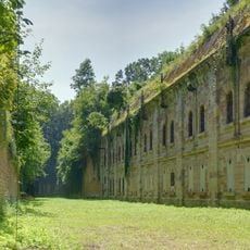
Fort Frère
1.8 km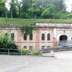
Fort Kléber
1.4 km
Église Saint-Joseph, Strasbourg
3.4 km
Pop Corn Labyrinthe
556 m
Église Saint-Florent, Strasbourg
3.4 km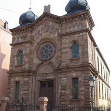
Synagogue of Wolfisheim
1.8 km
Église Saint-Antoine de Strasbourg
2.5 km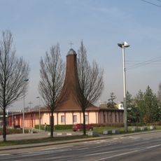
Église Saint-Benoît de Strasbourg
1.8 km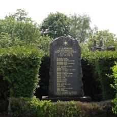
Wolfisheim Jewish cemetery
1.8 km
Église protestante Saint-Pierre de Wolfisheim
1.8 km
Presbytère Saint-Paul de Koenigshoffen
3.7 km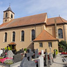
Église Saint-Kilian de Dingsheim
3.5 km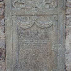
Monument funéraire de François Antoine Melchior du Terrier de Birkenwald
2.6 km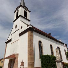
Église Saint-Ulrich d'Oberschaeffolsheim
2.5 km
Église Saint-Cyprien d'Eckbolsheim
2.2 km
Basse Cour du Fort Kléber
1.3 km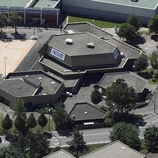
Théâtre de Hautepierre
1.8 km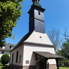
Église Saint-Jacques
2.2 km
Chapelle de la tuilerie d'Achenheim
3.6 km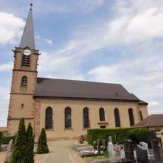
Église protestante d'Eckbolsheim
2.4 km
Chapelle Sainte-Odile d'Oberhausbergen
1.4 km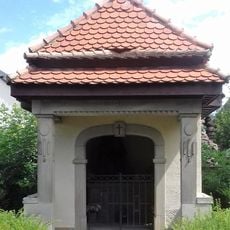
Chapelle du cimetière d'Eckbolsheim
2.2 km
Église protestante
1.3 km
Église protestante de Niederhausbergen
3.5 kmReviews
Visited this place? Tap the stars to rate it and share your experience / photos with the community! Try now! You can cancel it anytime.
Discover hidden gems everywhere you go!
From secret cafés to breathtaking viewpoints, skip the crowded tourist spots and find places that match your style. Our app makes it easy with voice search, smart filtering, route optimization, and insider tips from travelers worldwide. Download now for the complete mobile experience.

A unique approach to discovering new places❞
— Le Figaro
All the places worth exploring❞
— France Info
A tailor-made excursion in just a few clicks❞
— 20 Minutes