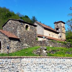
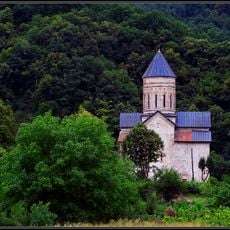
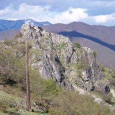
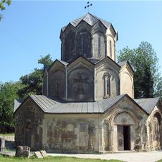
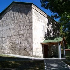
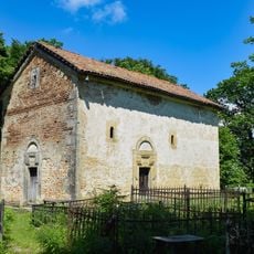
Chiatura, human settlement
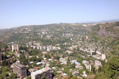
Chiatura is a town in western Georgia set in a deep river gorge, with steep rock walls rising on all sides. The town is split across several levels, connected by a network of cable cars that run above the rooftops alongside old factory buildings and narrow streets.
The town grew rapidly in the late 1800s after large manganese deposits were found in the surrounding cliffs. In the early 1900s it became one of the leading manganese mining centers in the world, and during the Russian Revolution it was a key point of Bolshevik activity in the Caucasus.
The name Chiatura comes from the Georgian word for iron, a direct reference to the mining history of the area. Murals of Soviet-era figures cover the walls of many buildings, and old factory structures still frame the view from street level.
The cable cars run during daytime hours, but not all lines operate every day, so it is worth checking locally before you plan your route. The streets across the different levels are steep and uneven, so solid footwear is a good idea for walking around the neighborhoods.
Some of the cable car cabins were built in the 1950s and have not been modernized since, with their original metal frames and worn wooden benches still in place. Riding one of these over the gorge gives a view straight down to the river far below, something most passengers notice only once the car starts moving.
The community of curious travelers
AroundUs brings together thousands of curated places, local tips, and hidden gems, enriched daily by 60,000 contributors worldwide.