Ulamertorsuaq, Mountain peaks in Kujalleq, Greenland
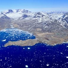
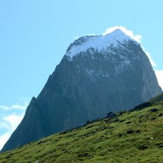
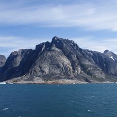
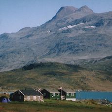
Ulamertorsuaq is a 1,858 m mountain in the Kujalleq municipality of southern Greenland, rising on the eastern side of the Tasermiut Fjord. It has four peaks of 1,858 m, 1,843 m, 1,829 m and 1,825 m. The 1,843 m peak is popular among climbers for its West Side, a perpendicular cliff of firm granite.
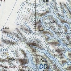
The mountain was first climbed in 1977 by a French rope team. In 1994 Stefan Glowacz, Kurt Albert and companions established the famous route Moby Dick (IX+/A2) on the west face, which was first free-climbed by a Slovak team in 1998. The name Ulamertorsuaq originally referred to the mountain now called Suikkassuaq to the south; the old name migrated to this peak through outdated maps used by climbers.
The name Suikkassuaq means "the great fixed one" in old Greenlandic orthography (Suíkagssuaĸ). The name Ulamertorsuaq once belonged to this mountain and later shifted to the peak to the north, while climbers using outdated maps kept the old name for this summit. The east peak is also called Naluumasortup Qaqqaa.
Getting here involves multiple flights and boat trips, as this remote location is only accessible during warmer months. Visitors should be prepared for unpredictable weather and work with experienced local guides.
The mountain is known for its long vertical rock sections with large gaps between protection points, making it appealing to technical climbers. These features require specialized climbing techniques and make it an unusual destination in arctic mountain ranges.
The community of curious travelers
AroundUs brings together thousands of curated places, local tips, and hidden gems, enriched daily by 93,807 contributors worldwide.