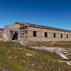
Blosseville Coast, Arctic coastal region in Sermersooq, Greenland.
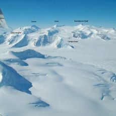
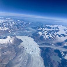
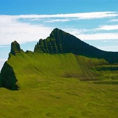
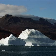
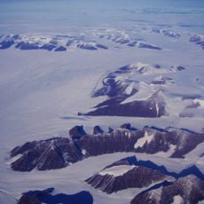
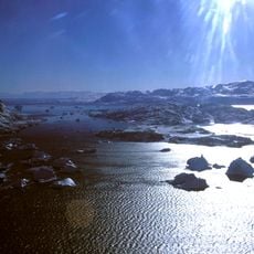
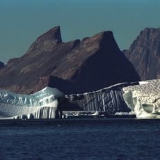
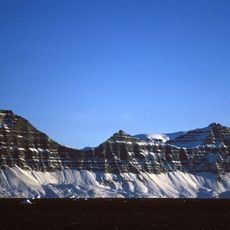
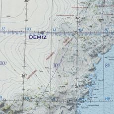
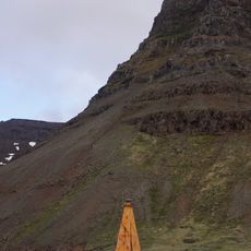
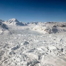
Blosseville Coast runs between Kangerlussuaq Fjord in the southwest and Cape Brewster at the entrance to Scoresby Sound in the northeast, in King Christian IX Land, Sermersooq. Its rock walls drop steeply to the sea, but compared with other Greenland coasts it is little indented: the fjords, such as Nansen Fjord and Kivioq Fjord, are short, and in places the Greenland ice sheet reaches the shore. Few islands lie offshore, and these are small.
In 1833 Lieutenant Jules de Blosseville sighted the unexplored coast between the 68th and 69th parallels and sailed to Iceland for repairs before returning to survey it. His ship La Lilloise and its 83 other men vanished without trace. Three search expeditions found nothing. Georg Carl Amdrup finally explored and mapped the coast in 1900 during the Carlsbergfund Expedition.
The coast is named after Jules de Blosseville, commander of La Lilloise, who sighted it in 1833 and vanished with 83 men while surveying it. Three search expeditions followed without finding any trace. The name was later applied by Georg Carl Amdrup, who mapped the coast in 1900 during the Carlsbergfund Expedition.
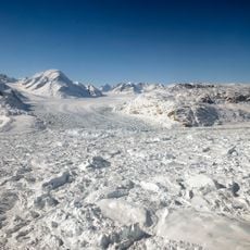
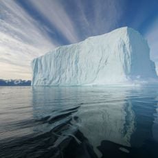
Ships face ice floes, frequent fog, dangerous currents and few good anchorages along this coast, so approach by sea is slow and uncertain. Fjords such as Nansen Fjord and Kivioq Fjord are short, and in places the Greenland ice sheet reaches the shore, leaving little landing ground. Plan for delays and changing conditions rather than fixed dates.
The coast lies between the 68th and 69th parallels north, the stretch Jules de Blosseville first sighted in 1833. After three search expeditions found no trace of his ship La Lilloise or its 83 other men, the coast waited until Georg Carl Amdrup mapped it during the 1900 Carlsbergfund Expedition.
The community of curious travelers
AroundUs brings together thousands of curated places, local tips, and hidden gems, enriched daily by 94,069 contributors worldwide.