Hornstrandir, Nature reserve in northern Westfjords, Iceland
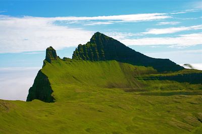
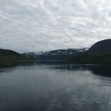
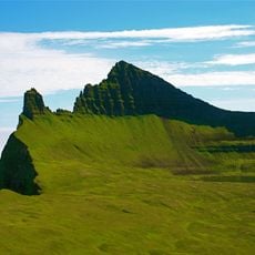
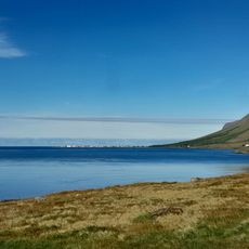
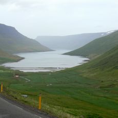
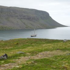
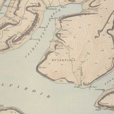
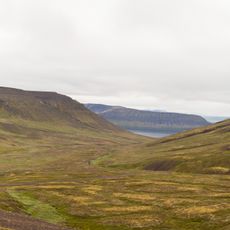
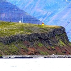
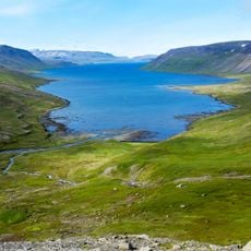
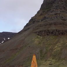
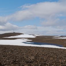
Hornstrandir is a nature reserve in the northern Westfjords with steep cliffs, mountain peaks reaching about 740 meters, and untouched fjords. The protected territory covers roughly 600 square kilometers and includes extensive coastal areas along the Greenland Sea.
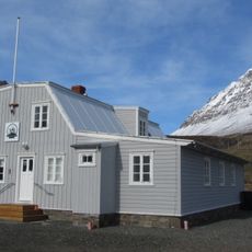
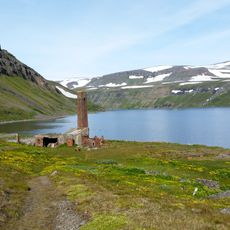
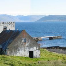
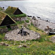
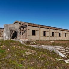
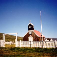
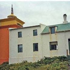
The area was inhabited until the 1950s, when residents abandoned their farming and fishing settlements due to harsh living conditions. This period marked the end of permanent settlement in this remote territory.
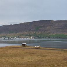
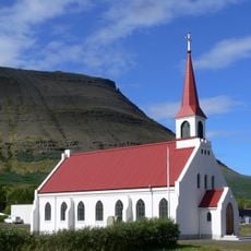
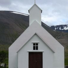
Former settlements like Hesteyri, Látrar, and Aðalvík have houses now used by families as seasonal summer homes. These villages show how people maintained ties to the land even after abandoning year-round life here.
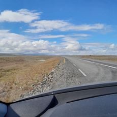
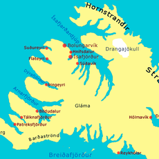
Visitors should register at the Hornstrandir Information Center in Ísafjördur before visiting and arrange boat transport from the harbor there. Most excursions operate between June and August when weather conditions are most favorable.
The reserve protects Arctic foxes, Iceland's only native land mammal, which are safeguarded from hunting within these boundaries. This population has adapted to thrive in the harsh Arctic environment found here.
The community of curious travelers
AroundUs brings together thousands of curated places, local tips, and hidden gems, enriched daily by 60,000 contributors worldwide.