Ilomantsi, Municipality in North Karelia, Finland
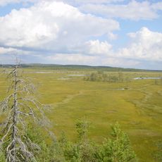
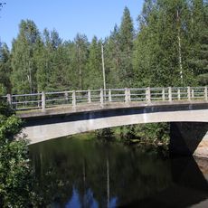
Ilomantsi is a municipality in North Karelia that covers forested and boggy terrain dotted with many lakes and two national parks. This landscape sits along Finland's eastern border and showcases the region's typical natural environment.
Established in 1875, the area became strategically important during World War II due to its position on the Russian border. Battle sites from that period remain marked by memorials throughout the region.
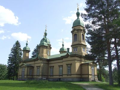
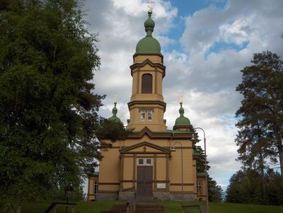
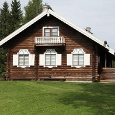
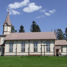
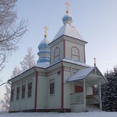
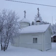
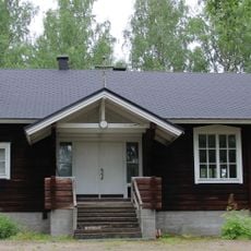
Orthodox traditions shape daily life here more visibly than in most Finnish communities, reflected in local architecture and gathering places. You'll notice this heritage expressed through the wooden church and the way certain celebrations are observed throughout the year.
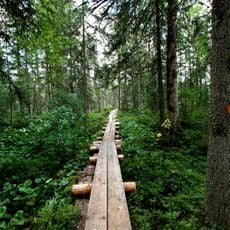
The region is most accessible during warmer months when forest paths and lake access are easier to navigate. Sturdy footwear and weather-appropriate clothing help you stay comfortable during outdoor activities in any season.
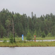
The easternmost point of continental European Union territory lies within the area near the village of Hattuvaara. This geographic distinction makes it a remarkable destination for those interested in boundary locations.
Location: North Karelia
Inception: 1875
Reference: 146
Shares border with: Joensuu, Lieksa, Loymolskoye rural settlement
Email: kirjaamo@ilomantsi.fi
Website: https://ilomantsi.fi
GPS coordinates: 62.67222,30.93056
Latest update: December 20, 2025 13:26
Patvinsuo National Park
50.2 km
Petkeljärvi National Park
16.3 km
Parppeinvaaran Runokylä
1.7 kmMöhkö Ironworks
18.7 kmHavukkakallio
3.1 kmHouse of the Fighter
33.8 kmKoivusuo Strict Nature Reserve
41.4 kmMekrijärvi research center
11.1 kmLinnalampi
7.2 km
Tuupovaara church
26.1 km
Church of Anna the Prophetess
15.7 km
Hattuvaara tsasouna
34 km
Haarajoki Museum Bridge
28 km
Naarva Borderland Church
41.2 kmKokkokallion kalliomaalaus
26.2 kmAsesepän paja
40.3 kmIlajankoski
29.6 kmKäenkosken harkkohytti
26.8 kmKäklinkallion kalliomaalaus
22.1 km
East Point
42.5 kmБратская могила советских пограничников (Лоймольское с.п.)
33.1 kmLahnajärvi 1
41.6 kmБратская могила советских воинов (три) (Поросозерское с.п.)
34.4 kmБратская могила советских воинов (Поросозерское с.п.)
30.7 kmPolvikoski
39.3 kmБратская могила советских пограничников (Поросозерское с.п.)
29.1 kmLylykoski
15.8 kmБратская могила советских воинов (капитан Журавлёв и два воина) (Поросозерское с.п.)
25.8 kmVisited this place? Tap the stars to rate it and share your experience / photos with the community! Try now! You can cancel it anytime.
Discover hidden gems everywhere you go!
From secret cafés to breathtaking viewpoints, skip the crowded tourist spots and find places that match your style. Our app makes it easy with voice search, smart filtering, route optimization, and insider tips from travelers worldwide. Download now for the complete mobile experience.
A unique approach to discovering new places❞
— Le Figaro
All the places worth exploring❞
— France Info
A tailor-made excursion in just a few clicks❞
— 20 Minutes